Toggle navigation
LMEC Home
Exhibitions
Georeferencing
Tools for Teachers
Collections
My Favorites
Sign Up / Log In
Search
Search the map portal
Map Collection
Map Collection
Map Sets
Search
Search
Search for
Search In
All Fields
Creator
Title
Subject
Place
Search All Digital Collections
Advanced Search
8891 Results
My Search
Start Over
More Like
commonwealth:3f463917s
Remove constraint More Like: commonwealth:3f463917s
Filter your Search
Place
North and Central America
6,131
United States
5,034
Massachusetts
2,181
Europe
1,392
Suffolk (county)
1,200
Boston
1,173
Canada
449
Asia
437
more
Place
»
Topic
Boston (Mass.)--Maps
747
United States--Maps
279
Massachusetts--Maps
232
Real property--Massachusetts--Boston--Maps
195
City planning--Massachusetts--Boston--Maps
156
Landowners--Massachusetts--Boston--Maps
142
New England--Maps
104
North America--Maps--Early works to 1800
103
more
Topic
»
Date
Date range begin
–
Date range end
Current results range from
1482
to
2023
View distribution
Creator
United States. Hydrographic Office
595
Boston Redevelopment Authority
162
O.H. Bailey & Co
148
Des Barres, Joseph F. W. (Joseph Frederick Wallet), 1722-1824
124
United States. Post Office Dept
120
Ptolemy, 2nd cent
100
Walling, Henry Francis, 1825-1888
95
Geological Survey (U.S.)
92
more
Creator
»
Format
Maps/Atlases
8,831
Manuscripts
219
Prints
56
Books
36
Objects/Artifacts
10
Drawings/Illustrations
8
Posters
4
Ephemera
1
Georeferenced
Yes
894
No
7,997
Collection
Norman B. Leventhal Map & Education Center Collection
8,714
Boston and New England Maps
2,390
Urban Maps
2,113
Maritime Charts and Atlases
1,083
American Revolutionary War-Era Maps
657
Boston Redevelopment Authority Collection
194
Mapping Boston Collection
22
Massachusetts Real Estate Atlases
22
more
Collection
»
Available to use
No known restrictions
8,656
Creative Commons license
73
Search Constraints
Sort by relevance
relevance
title
date (asc)
date (desc)
Number of results to display per page
20 per page
10
per page
20
per page
50
per page
100
per page
View results as:
grid view
map view
Search Results
401.
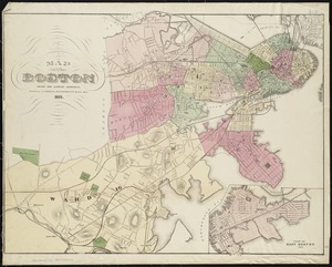
Map of Boston, for 1884
402.
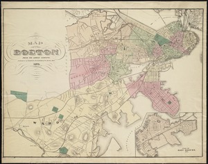
Map of Boston, for 1885
403.
Map of Boston, for 1886
404.
Map of Boston, for 1887
405.
Map of Boston, for 1888
406.
Map of Boston, for 1889
407.
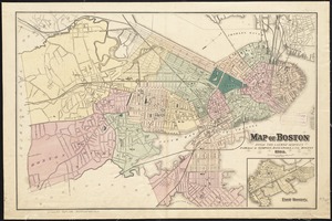
Map of Boston from the latest surveys
408.
Map of Boston from the latest surveys
409.
Map of Boston from the latest surveys
410.
Map of Boston from the latest surveys
411.
Map of Boston from the latest surveys
412.
Map of Boston from the latest surveys
413.
Map of Boston in the state of Massachusetts
414.
Map of Boston postal stations
415.
Map of Boston proper
416.
Map of Boston proper, Charlestown, South Boston and East Boston : showing original territory of old Boston, the areas filled...
417.
Map of Boston showing location of the Lenox
418.
[Map of Boston, showing surface lines, proposed elevated lines, connecting surface lines and route of subway
419.
Map of central Boston and Cambridge
420.
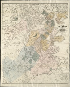
Map of Dorchester, Roxbury, and West Roxbury
‹ Prev
Next ›
1
2
…
17
18
19
20
21
22
23
24
25
…
444
445