Toggle navigation
LMEC Home
Exhibitions
Georeferencing
Tools for Teachers
Collections
My Favorites
Sign Up / Log In
Search
Search the map portal
Map Collection
Map Collection
Map Sets
Search
Search
Search for
Search In
All Fields
Creator
Title
Subject
Place
Search All Digital Collections
Advanced Search
8710 Results
My Search
Start Over
More Like
commonwealth:3f463105b
Remove constraint More Like: commonwealth:3f463105b
Filter your Search
Place
North and Central America
5,941
United States
4,859
Massachusetts
2,079
Europe
1,396
Suffolk (county)
1,046
Boston
1,019
Canada
449
Asia
438
more
Place
»
Topic
Boston (Mass.)--Maps
586
United States--Maps
282
Real property--Massachusetts--Boston--Maps
175
Massachusetts--Maps
162
Landowners--Massachusetts--Boston--Maps
133
North America--Maps--Early works to 1800
103
New England--Maps
102
Europe--Maps
79
more
Topic
»
Date
Date range begin
–
Date range end
Current results range from
1482
to
2023
View distribution
Creator
United States. Hydrographic Office
595
O.H. Bailey & Co
148
Des Barres, Joseph F. W. (Joseph Frederick Wallet), 1722-1824
123
United States. Post Office Dept
120
Ptolemy, 2nd cent
100
Walling, Henry Francis, 1825-1888
94
Geological Survey (U.S.)
87
Jefferys, Thomas, -1771
85
more
Creator
»
Format
Maps/Atlases
8,650
Manuscripts
215
Prints
56
Books
36
Objects/Artifacts
10
Drawings/Illustrations
8
Posters
5
Georeferenced
Yes
869
No
7,841
Collection
Norman B. Leventhal Map & Education Center Collection
8,695
Boston and New England Maps
2,233
Urban Maps
2,023
Maritime Charts and Atlases
1,083
American Revolutionary War-Era Maps
631
Boston Redevelopment Authority Collection
87
William L. Clements Library Collection
9
Maps from AAS
6
more
Collection
»
Available to use
No known restrictions
8,553
Creative Commons license
47
Search Constraints
Sort by relevance
relevance
title
date (asc)
date (desc)
Number of results to display per page
20 per page
10
per page
20
per page
50
per page
100
per page
View results as:
grid view
map view
Search Results
21.
Map of Alabama, showing location of property owned by the Fort Payne Coal & Iron Company
22.
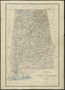
Map of the state of Alabama
23.
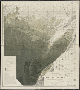
Map of the Warrior coal basin with columnar sections of formation, so far as it carries workable coals
24.
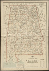
Post route map of the State of Alabama showing post offices with the intermediate distances on mail routes in operation on the...
25.
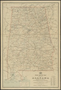
Post route map of the state of Alabama showing post offices with the intermediate distances on mail routes in operation on the...
26.
The Rand-McNally new commercial atlas map of Alabama
27.
State of Alabama
28.
System of state roads
29.
Georgia, from the latest authorities
30.
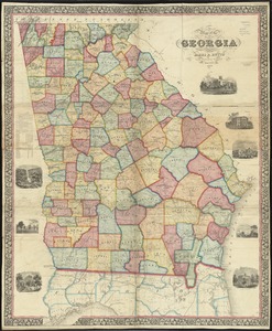
Map of the state of Georgia
31.
Middle Georgia & South Carolina
32.
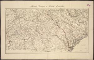
[Middle Georgia and South Carolina]
33.
Northern Georgia with portions of adjacent states
34.
Post route map of the State of Georgia showing post offices with the intermediate distances and mail routes in operation on the...
35.
Post route map of the state of Georgia showing post offices with the intermediate distances on mail routes in operation on the...
36.
Post route map of the state of Georgia showing post offices with the intermediate distances on mail routes in operation on the...
37.
Post route map of the States of South Carolina and Georgia with adjacent parts of North Carolina, Tennessee, Alabama and...
38.
A draught of the river Missisippi. From the Balise to Fort Cavendish : taken in the months of June, July, August, September,...
39.
A sketch of the river Missisippi from New Orleans to the Rock of Davion
40.
A draught of the upper Creek nation, taken in May 1757
‹ Prev
Next ›
1
2
3
4
5
6
…
435
436


![[Middle Georgia and South Carolina]](https://bpldcassets.blob.core.windows.net/derivatives/images/commonwealth:7h14b2665/image_thumbnail_300.jpg)