Toggle navigation
LMEC Home
Exhibitions
Georeferencing
Tools for Teachers
Collections
My Favorites
Sign Up / Log In
Search
Search the map portal
Map Collection
Map Collection
Map Sets
Search
Search
Search for
Search In
All Fields
Creator
Title
Subject
Place
Search All Digital Collections
Advanced Search
8768 Results
My Search
Start Over
More Like
commonwealth:3f4630649
Remove constraint More Like: commonwealth:3f4630649
Filter your Search
Place
North and Central America
5,999
United States
4,903
Massachusetts
2,151
Europe
1,396
Suffolk (county)
1,047
Boston
1,020
Canada
450
Asia
438
more
Place
»
Topic
Boston (Mass.)--Maps
590
United States--Maps
282
Massachusetts--Maps
235
Real property--Massachusetts--Boston--Maps
175
Landowners--Massachusetts--Boston--Maps
133
New England--Maps
104
North America--Maps--Early works to 1800
103
Europe--Maps
79
more
Topic
»
Date
Date range begin
–
Date range end
Current results range from
1482
to
2023
View distribution
Creator
United States. Hydrographic Office
595
O.H. Bailey & Co
148
Des Barres, Joseph F. W. (Joseph Frederick Wallet), 1722-1824
123
United States. Post Office Dept
120
Ptolemy, 2nd cent
100
Walling, Henry Francis, 1825-1888
95
Geological Survey (U.S.)
92
Jefferys, Thomas, -1771
85
more
Creator
»
Format
Maps/Atlases
8,707
Manuscripts
217
Prints
56
Books
36
Objects/Artifacts
10
Drawings/Illustrations
8
Posters
5
Ephemera
1
Georeferenced
Yes
879
No
7,889
Collection
Norman B. Leventhal Map & Education Center Collection
8,737
Boston and New England Maps
2,279
Urban Maps
2,024
Maritime Charts and Atlases
1,083
American Revolutionary War-Era Maps
635
Boston Redevelopment Authority Collection
90
Applied Geographics, Inc. Records
20
David Judkins Weaver Papers
18
more
Collection
»
Available to use
No known restrictions
8,595
Creative Commons license
51
Search Constraints
Sort by relevance
relevance
title
date (asc)
date (desc)
Number of results to display per page
20 per page
10
per page
20
per page
50
per page
100
per page
View results as:
grid view
map view
Search Results
3821.
Map of Manitoba
3822.
Map of Manitoba, Saskatchewan & Alberta : showing the number of quarter sections available for homestead entry in each...
3823.
Map of Manitoba, Saskatchewan and Alberta : showing the number of quarter sections available for homestead entry in each township
3824.
Map of Manitoba, Saskatchewan and Alberta : showing the number of quarter-sections available for homestead entry in each...
3825.
Map of Manitoba, Saskatchewan and Alberta
3826.
Map of Manitoba shewing provincial government lands for sale
3827.
Map of Marshfield, Mass
3828.
Map of Massachusetts showing population according to census of 1910
3829.
Map of McHenry County, Illinois
3830.
Map of Medina Co., Ohio
3831.
Map of Merrimack County, New Hampshire
3832.
A Map of Methuen, Mass
3833.
Map of Mexico, constructed from all available materials and corrected to 1862 = H. Kiepert's karte von Mexico, überdruck aus...
3834.
Map of Middlesex County, Mass : copied from a map belonging to the state, with various additions and alterations, by order of...
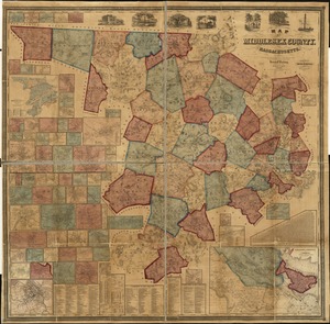
3835.
Map of Middlesex County, Massachusetts : based upon the trigonometrical survey of the state
3836.
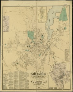
Map of Milford : town of Milford Worcester Co. Mass : from actual surveys and records
3837.
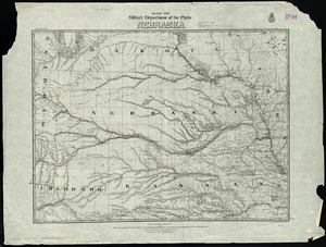
Map of military Department of the Platte, Nebraska
3838.
Map of military reconnaissance from Fort Taylor to the Coeur d'Alene mission, Washington Territory
3839.
Map of military road from Fort Walla Walla on the Columbia to Fort Benton on the Missouri
3840.
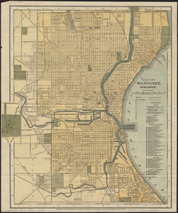
Map of Milwaukee, Wisconsin
‹ Prev
Next ›
1
2
…
188
189
190
191
192
193
194
195
196
…
438
439