Toggle navigation
LMEC Home
Exhibitions
Georeferencing
Tools for Teachers
Collections
My Favorites
Sign Up / Log In
Search
Search the map portal
Map Collection
Map Collection
Map Sets
Search
Search
Search for
Search In
All Fields
Creator
Title
Subject
Place
Search All Digital Collections
Advanced Search
216 Results
My Search
Start Over
More Like
commonwealth:3f462s90h
Remove constraint More Like: commonwealth:3f462s90h
Filter your Search
Place
North and Central America
193
United States
184
New England
104
Massachusetts
82
Boston
49
Suffolk (county)
48
Boston Harbor
33
Middle Atlantic
24
more
Place
»
Topic
New England--Maps--Early works to 1800
97
Middle Atlantic States--Maps--Early works to 1800
21
Boston (Mass.)--Maps
20
World maps--Early works to 1800
19
Boston Harbor (Mass.)--Maps--Early works to 1800
18
Boston (Mass.)--History--Revolution, 1775-1783--Maps--Early works to 1800
16
Northeastern States--Maps--Early works to 1800
15
Boston (Mass.)--Maps--Early works to 1800
13
more
Topic
»
Date
Date range begin
–
Date range end
Current results range from
1493
to
1999
View distribution
Creator
Bellin, Jacques Nicolas, 1703-1772
8
Jefferys, Thomas, d. 1771
8
Page, Thomas Hyde, Sir, 1746-1821
7
Southack, Cyprian, 1662-1745
6
United States Coast Survey
6
Bowles, Carington, 1724-1793
5
Des Barres, Joseph F. W. (Joseph Frederick Wallet), 1722-1824
5
Jefferys, Thomas, -1771
5
more
Creator
»
Format
Maps/Atlases
215
Manuscripts
1
Prints
1
Georeferenced
Yes
31
No
185
Collection
Norman B. Leventhal Map & Education Center Collection
180
Mapping Boston Collection
141
Boston and New England Maps
95
American Revolutionary War-Era Maps
83
Maritime Charts and Atlases
35
Urban Maps
24
Sidney R. Knafel Map Collection at Phillips Academy
15
MacLean Collection Map Library
6
more
Collection
»
Available to use
Creative Commons license
149
No known restrictions
44
Search Constraints
Sort by relevance
relevance
title
date (asc)
date (desc)
Number of results to display per page
20 per page
10
per page
20
per page
50
per page
100
per page
View results as:
grid view
map view
Search Results
61.
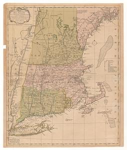
A map of the most inhabited part of New England, containing the provinces of Massachusets Bay and New Hampshire, with the...
62.
A map of the most inhabited part of New England, containing the provinces of Massachusetts Bay and New Hampshire, with the...
63.
Map of the northern, or, New England states of America, comprehending Vermont, New Hampshire, District of Main, Massachusetts,...
64.
Map of the northern, or, New England states of America, comprehending Vermont, New Hampshire, District of Main, Massachusetts,...
65.
A map of the Province of New York, with part of Pensilvania, and New England : from an actual survey by Captain Montresor,...
66.
A map of the Province of New York, with part of Pensilvania, and New England : from an actual survey by Captain Montresor,...
67.
A mapp of New England
68.
A new and accurate map of the present seat of war in North America : from a late survey
69.
A new and correct map of the British colonies in North America : comprehending eastern Canada with the province of Quebec, New...
70.
A new chart of the coast of New England, Nova Scotia, New France or Canada, with the islands of Newfoundld. Cape Breton St....
71.
New Engelland, New York, New Yersey und Pensilvania
72.
New England : die mercklichsten dheile, also genennet durch den durchl: und mechtigen Prinzen und h.h. Carolus, Prinzen von...
73.
New England and New York
74.
New England and New York
75.
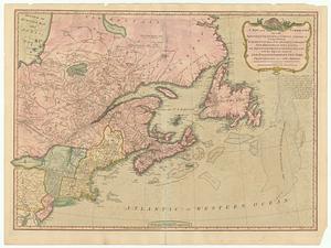
A new map of Nova Scotia and Cape Breton Island : with the adjacent parts of New England and Canada composed from a great...
76.
A new map of Nova Scotia, and Cape Britain : with the adjacent parts of New England and Canada, composed from a great number of...
77.
A new map of Nova Scotia, and Cape Britain : with the adjacent parts of New England and Canada, composed from a great number of...
78.
A new map of the most considerable plantations of the English in America
79.
Noui Belgii Nouaeque Angliae nec non partis Virginiae tabula
80.
Nouvelle Angleterre et Nouvel York
‹ Prev
Next ›
1
2
3
4
5
6
7
8
…
10
11