Toggle navigation
LMEC Home
Exhibitions
Georeferencing
Tools for Teachers
Collections
My Favorites
Sign Up / Log In
Search
Search the map portal
Map Collection
Map Collection
Map Sets
Search
Search
Search for
Search In
All Fields
Creator
Title
Subject
Place
Search All Digital Collections
Advanced Search
375 Results
My Search
Start Over
More Like
commonwealth:3f462s50j
Remove constraint More Like: commonwealth:3f462s50j
Filter your Search
Place
North and Central America
299
North America
231
United States
141
Massachusetts
73
Boston
45
Suffolk (county)
44
New England
34
Boston Harbor
29
more
Place
»
Topic
North America--Maps--Early works to 1800
240
New England--Maps--Early works to 1800
27
Boston (Mass.)--Maps
20
World maps--Early works to 1800
19
Great Britain--Colonies--America--Maps--Early works to 1800
18
Boston (Mass.)--History--Revolution, 1775-1783--Maps--Early works to 1800
16
United States--Maps--Early works to 1800
14
Boston Harbor (Mass.)--Maps--Early works to 1800
13
more
Topic
»
Date
Date range begin
–
Date range end
Current results range from
1493
to
1927
View distribution
Creator
Mitchell, John, 1711-1768
18
Sayer, Robert, 1725-1794
15
Gibson, J. (John), active 1750-1792
14
Jefferys, Thomas, -1771
13
Bowen, Emanuel, 1693 or 1694-1767
11
Moll, Herman, d. 1732
11
Anville, Jean Baptiste Bourguignon d', 1697-1782
10
Le Rouge, Georges-Louis
8
more
Creator
»
Format
Maps/Atlases
374
Manuscripts
2
Prints
1
Georeferenced
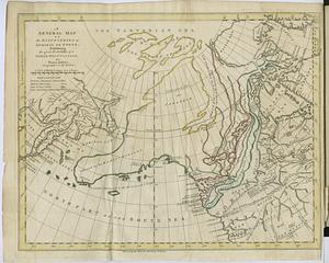
Yes
30
No
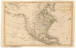
345
Collection
Norman B. Leventhal Map & Education Center Collection
247
American Revolutionary War-Era Maps
212
Mapping Boston Collection
142
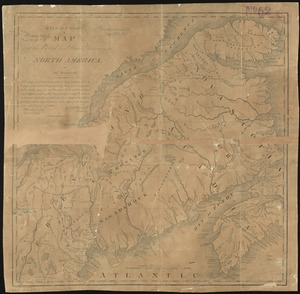
Boston and New England Maps
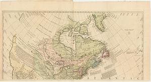
76
MacLean Collection Map Library
59
New York Public Library Collection
32
Maritime Charts and Atlases
28
Urban Maps
24
more
Collection
»
Available to use
Creative Commons license
192
No known restrictions
113
Search Constraints
Sort by relevance
relevance
title
date (asc)
date (desc)
Number of results to display per page
20 per page
10
per page
20
per page
50
per page
100
per page
View results as:
grid view
map view
Search Results
101.
Copy of a map presented to the Congres [sic]
102.
Domina Anglorum in America Septentrionali specialibus mappis Londini primum a Mollio edita, nunc recusa ab Homannianis Hered =...
103.
The English Empire in America, Newfound-land, Canada, Hudsons Bay &c. in plano
104.
The English empire in America, Newfound-land, Canada, Hudsons Bay, &c. in plano
105.
An exact map of North America : from the best authorities
106.
An exact map of North America from the best authorities
107.
Extract from a map of the British and French dominions in North America
108.
A general map of North America : in which is express'd the several new roads, forts, engagements, &c, taken from actual surveys...
109.
A general map of North America : in which is express'd the several new roads, forts, engagements, &c, taken from actual surveys...
110.
A general map of North America; in which is express'd the several new roads, forts, engagements, &c. taken from actual surveys...
111.
A general map of the discoveries of Admiral de Fonte, exhibiting the great probability of a north-west passage
112.
A general map of the middle British colonies in America : Viz. Virginia, Maryland, Delaware, Pensilvania, New-Jersey, New-York,...
113.
Generalkarte von Nord America samt den Westindischen inseln
114.
Generalkarte von Nordamerika samt den Westindischen Inseln
115.
The isle of California : New Mexico : Louisiane : The river Misisipi, and the lakes of Canada
116.
LʼAmérique Septentrionale et Méridionale divisée suivant ses différens pays
117.
A map exhibiting all the new discoveries, in the interior parts of North America : inscribed by permission to the honorable...
118.
A map of Louisiana and of the River Mississipi
119.
A map of New England, and Nova Scotia : with part of New York, Canada, and New Britain & the adjacent islands of New Found...
120.
A map of North America
‹ Prev
Next ›
1
2
3
4
5
6
7
8
9
10
…
18
19
![Copy of a map presented to the Congres [sic]](https://bpldcassets.blob.core.windows.net/derivatives/images/commonwealth:z603vn16x/image_thumbnail_300.jpg)