Toggle navigation
LMEC Home
Exhibitions
Georeferencing
Tools for Teachers
Collections
My Favorites
Sign Up / Log In
Search
Search the map portal
Map Collection
Map Collection
Map Sets
Search
Search
Search for
Search In
All Fields
Creator
Title
Subject
Place
Search All Digital Collections
Advanced Search
265 Results
My Search
Start Over
More Like
commonwealth:3f462s24x
Remove constraint More Like: commonwealth:3f462s24x
Filter your Search
Place
North and Central America
156
United States
79
North America
63
World
63
South America
58
Mesoamerica
56
America
50
Boston
44
more
Place
»
Topic
World maps--Early works to 1800
76
America--Maps--Early works to 1800
72
Western Hemisphere--Maps--Early works to 1800
50
New England--Maps--Early works to 1800
23
Boston (Mass.)--Maps
20
Boston (Mass.)--History--Revolution, 1775-1783--Maps--Early works to 1800
16
Boston Harbor (Mass.)--Maps--Early works to 1800
13
North America--Maps--Early works to 1800
12
more
Topic
»
Date
Date range begin
–
Date range end
Current results range from
1488
to
1927
View distribution
Creator
Ortelius, Abraham, 1527-1598
7
Page, Thomas Hyde, Sir, 1746-1821
7
Speed, John, 1552?-1629
6
United States Coast Survey
6
L'Isle, Guillaume de, 1675-1726
5
Moll, Herman, d. 1732
5
Southack, Cyprian, 1662-1745
5
Bache, A. D. (Alexander Dallas), 1806-1867
4
more
Creator
»
Format
Maps/Atlases
264
Manuscripts
2
Prints
1
Georeferenced
Yes
31
No
234
Collection
Norman B. Leventhal Map Center Collection
238
Mapping Boston Collection
139
Boston and New England Maps
73
American Revolutionary War-Era Maps
48
Maritime Charts and Atlases
28
Urban Maps
23
Sidney R. Knafel Map Collection at Phillips Academy
21
New York Public Library Collection
4
more
Collection
»
Available to use
Creative Commons license
143
No known restrictions
101
Search Constraints
Sort by title
relevance
title
date (asc)
date (desc)
Number of results to display per page
20 per page
10
per page
20
per page
50
per page
100
per page
View results as:
grid view
map view
Search Results
21.
Americae nova descriptio
22.
Americae nova discriptio
23.
Americae nova tabula
24.
Americae nova tabula
25.
Americae siue noui orbis, noua descriptio
26.
Americae siue noui orbis, noua descriptio
27.
Americae siue noui orbis, noua descriptio
28.
Americae sive Indiae Occidentalis : tabula generalis
29.
Americae tam septentrionalis quam meridionalis in mappa geographica delineatio
30.
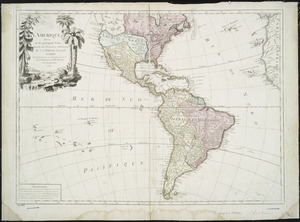
L'Amérique
31.
L'Amerique : divisée en ses principaux etats, assujetie aux observations astronomiqes
32.
L'Amerique : suivant le R.P. Charlevoix Jte., Mr. de la Condamine, et plusieurs autres nouvle. observations
33.
L'Amerique divisée en ses principaux États
34.
L'Amerique divisée par grand etats
35.
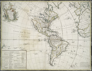
L'Amerique, meridionale, et septentrionale
36.
Amérique ou Indes Occidentales, avec les nouvelles découvertes du Capit'e Cook, depuis le Détroit de Behrings ou du Nord,...
37.
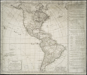
L'Amérique Septentrionale & Meridionale divisée en ses principales parties, ou sont distingués les vns des autres les estats...
38.
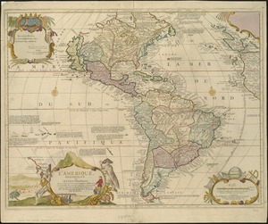
L'Amérique suivant le R.P. Charlevoix Jte, Mr. de La Condamine et plusieurs autres nouvle. observations
39.
Baye et port de Boston
40.
Belgii Novi, Angliae Novae, et partis Virginiae : novissima delineatio
‹ Prev
Next ›
1
2
3
4
5
6
…
13
14