Toggle navigation
LMEC Home
Exhibitions
Georeferencing
Tools for Teachers
Collections
My Favorites
Sign Up / Log In
Search
Search the map portal
Map Collection
Map Collection
Map Sets
Search
Search
Search for
Search In
All Fields
Creator
Title
Subject
Place
Search All Digital Collections
Advanced Search
112 Results
My Search
Start Over
More Like
commonwealth:2b88vr376
Remove constraint More Like: commonwealth:2b88vr376
Filter your Search
Place
North and Central America
97
United States
95
Massachusetts
62
Essex (county)
17
Virginia
13
Boston
9
Gloucester
9
Suffolk (county)
9
more
Place
»
Topic
Massachusetts--Maps
19
Gloucester (Mass.)--Maps
12
United States--History--Civil War, 1861-1865--Maps
10
Essex County (Mass.)--Maps
7
Land use--Massachusetts--Maps
7
Virginia--History--Civil War, 1861-1865--Maps
7
Connecticut--Maps
6
Real property--Massachusetts--Gloucester--Maps
5
more
Topic
»
Date
Date range begin
–
Date range end
Current results range from
1770
to
2015
View distribution
Creator
MassGIS (Office : Mass.)
19
Massachusetts. Executive Office of Environmental Affairs
16
Michler, N. (Nathaniel), 1827-1881
15
New York Lithographing, Engraving and Printing Co.
12
Strasser, J.
12
Theilkuhl, F.
12
Weyss, J. E.
12
Geological Survey (U.S.)
11
more
Creator
»
Format
Maps/Atlases
109
Books
4
Ephemera
2
Documents
1
Posters
1
Georeferenced
Yes
1
No
111
Collection
Norman B. Leventhal Map & Education Center Collection
107
David Judkins Weaver Papers
98
Boston and New England Maps
69
Urban Maps
13
Massachusetts Real Estate Atlases
4
American Revolutionary War-Era Maps
1
Applied Geographics, Inc. Records
1
William L. Clements Library Collection
1
Available to use
No known restrictions
107
Search Constraints
Sort by relevance
relevance
title
date (asc)
date (desc)
Number of results to display per page
20 per page
10
per page
20
per page
50
per page
100
per page
View results as:
grid view
map view
Search Results
81.
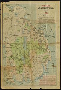
Path map of the eastern part of Mount Desert Island, Maine
82.
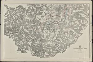
Petersburg and Five Forks
83.
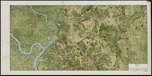
Pictomap
84.
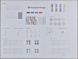
Printer test page
85.
Properties of the Trustees of Reservations and other protected open space
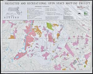
86.
Protected and recreational open space mapping project : Bedford
87.
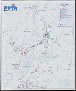
PVTA bus map & guide
88.
The regional open space system : [Boston, Massachusetts metropolitan area]
89.
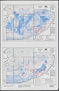
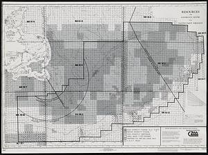
Resources on Georges Bank and Nantucket Shoals
90.
Resources on Georges Bank and Nantucket Shoals
91.
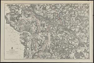
Richmond
92.
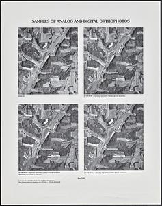
Samples of analog and digital orthophotos
93.
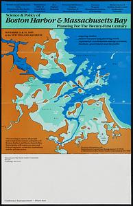
Science & policy of Boston Harbor symposium poster
94.
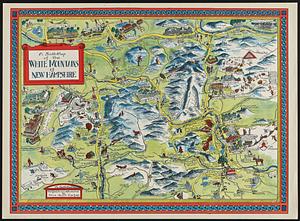
A Scott-Map of the White Mountains of New Hampshire
95.
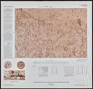
Shaded relief map of the Aeolis quadrangle of Mars : MC-23, M 5M-15/202 RN
96.
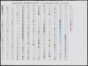
Shadesets
97.
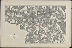
Spottsylvania Court House
98.
State of Maine
99.
States of Massachusetts, Rhode Island and Connecticut : base map with highways and contours
100.
States of Massachusetts, Rhode Island and Connecticut : base map with highways and contours
‹ Prev
Next ›
1
2
3
4
5
6