Toggle navigation
LMEC Home
Exhibitions
Georeferencing
Tools for Teachers
Collections
My Favorites
Sign Up / Log In
Search
Search the map portal
Map Collection
Map Collection
Map Sets
Search
Search
Search for
Search In
All Fields
Creator
Title
Subject
Place
Search All Digital Collections
Advanced Search
8832 Results
My Search
Start Over
More Like
commonwealth:2514p144s
Remove constraint More Like: commonwealth:2514p144s
Filter your Search
Place
North and Central America
6,063
United States
4,946
Massachusetts
2,084
Europe
1,396
Suffolk (county)
1,046
Boston
1,019
Canada
469
Asia
438
more
Place
»
Topic
Boston (Mass.)--Maps
586
United States--Maps
282
Real property--Massachusetts--Boston--Maps
175
Massachusetts--Maps
162
Landowners--Massachusetts--Boston--Maps
133
North America--Maps--Early works to 1800
107
New England--Maps
102
New England--Maps--Early works to 1800
97
more
Topic
»
Date
Date range begin
–
Date range end
Current results range from
1482
to
2023
View distribution
Creator
United States. Hydrographic Office
595
O.H. Bailey & Co
148
Des Barres, Joseph F. W. (Joseph Frederick Wallet), 1722-1824
123
United States. Post Office Dept
120
Ptolemy, 2nd cent
100
Walling, Henry Francis, 1825-1888
94
Jefferys, Thomas, -1771
91
Geological Survey (U.S.)
86
more
Creator
»
Format
Maps/Atlases
8,772
Manuscripts
220
Prints
56
Books
36
Objects/Artifacts
10
Drawings/Illustrations
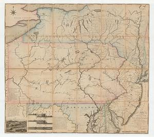
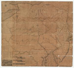
8
Posters
5
Georeferenced
Yes
877
No
7,955
Collection
Norman B. Leventhal Map & Education Center Collection
8,724
Boston and New England Maps
2,243
Urban Maps
2,023
Maritime Charts and Atlases
1,089
American Revolutionary War-Era Maps
719
Boston Redevelopment Authority Collection
87
MacLean Collection Map Library
33
Mapping Boston Collection
28
more
Collection
»
Available to use
No known restrictions
8,557
Creative Commons license
127
Search Constraints
Sort by relevance
relevance
title
date (asc)
date (desc)
Number of results to display per page
20 per page
10
per page
20
per page
50
per page
100
per page
View results as:
grid view
map view
Search Results
101.
Position der Koenigl;Grosbrittanischen und derer vereinigten provinzial armée in New York und dem Jerseys in Nord America im...
102.
Position du camp de l'armée combinée a Philipsburg du 6 juillet au 19 aoust
103.
Province de New-Jersey divisée en est et ouest nomée vulgairement les Jerseys
104.
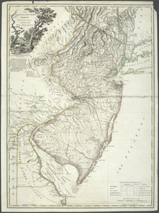
The Province of New Jersey : divided into East and West, commonly called the Jerseys
105.
The Province of New Jersey : divided into East and West, commonly called the Jerseys
106.
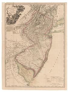
The province of New Jersey, divided into east and west, commonly called the Jerseys
107.
The province of New Jersey, divided into east and west, commonly called the Jerseys
108.
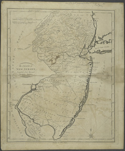
The State of New Jersey : compiled from the most accurate surveys
109.
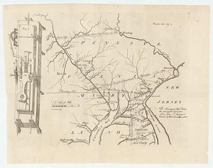
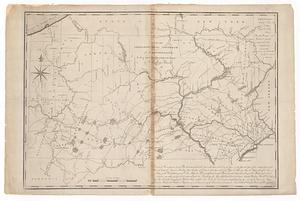
[A map of part of Pennsylvania & Maryland intended to shew, at one view, the several places proposed for opening a...
110.
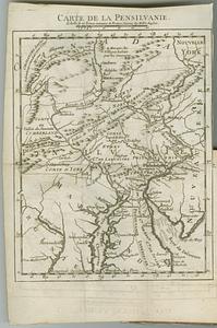
Carte de la Pensilvanie
111.
Carte des environs du Fort Pitt et de la nouvelle province Indiana : dediée a M. Franklin
112.
A map exhibiting a general view of the roads and inland navigation of Pennsylvania, and part of the adjacent states :...
113.
A map exhibiting a general view of the roads and inland navigation of Pennsylvania, and part of the adjacent states :...
114.
Map of part of Pennsylvania & Maryland intended to illustrate proposals for a communication between the waters of the Delaware...
115.
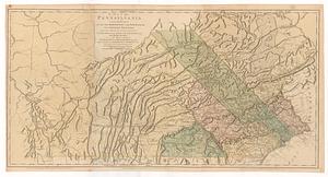
Map of Pennsylvania
116.
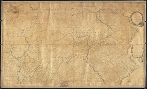
A map of Pennsylvania exhibiting not only the improved parts of that province, but also its extensive frontiers : laid down...
117.
A map of the country between Will's Creek & Monongahela River shewing the rout and encampments of the English army in 1755
118.
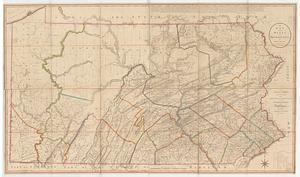
A map of the state of Pennsylvania
119.
A map of the state of Pennsylvania
120.
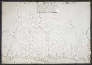
A MAPP OF PENSYLVANIA IN AMERICA
‹ Prev
Next ›
1
2
3
4
5
6
7
8
9
10
…
441
442


![[A map of part of Pennsylvania & Maryland intended to shew, at one view, the several places proposed for opening a communication between the waters of the Delaware & Chesopeak Bays]](https://bpldcassets.blob.core.windows.net/derivatives/images/commonwealth:z603vt12v/image_thumbnail_300.jpg)