Toggle navigation
LMEC Home
Exhibitions
Georeferencing
Tools for Teachers
Collections
My Favorites
Sign Up / Log In
Search
Search the map portal
Map Collection
Map Collection
Map Sets
Search
Search
Search for
Search In
All Fields
Creator
Title
Subject
Place
Search All Digital Collections
Advanced Search
8832 Results
My Search
Start Over
More Like
commonwealth:2514p144s
Remove constraint More Like: commonwealth:2514p144s
Filter your Search
Place
North and Central America
6,063
United States
4,946
Massachusetts
2,084
Europe
1,396
Suffolk (county)
1,046
Boston
1,019
Canada
469
Asia
438
more
Place
»
Topic
Boston (Mass.)--Maps
586
United States--Maps
282
Real property--Massachusetts--Boston--Maps
175
Massachusetts--Maps
162
Landowners--Massachusetts--Boston--Maps
133
North America--Maps--Early works to 1800
107
New England--Maps
102
New England--Maps--Early works to 1800
97
more
Topic
»
Date
Date range begin
–
Date range end
Current results range from
1482
to
2023
View distribution
Creator
United States. Hydrographic Office
595
O.H. Bailey & Co
148
Des Barres, Joseph F. W. (Joseph Frederick Wallet), 1722-1824
123
United States. Post Office Dept
120
Ptolemy, 2nd cent
100
Walling, Henry Francis, 1825-1888
94
Jefferys, Thomas, -1771
91
Geological Survey (U.S.)
86
more
Creator
»
Format
Maps/Atlases
8,772
Manuscripts
220
Prints
56
Books
36
Objects/Artifacts
10
Drawings/Illustrations
8
Posters
5
Georeferenced
Yes
877
No
7,955
Collection
Norman B. Leventhal Map & Education Center Collection
8,724
Boston and New England Maps
2,243
Urban Maps
2,023
Maritime Charts and Atlases
1,089
American Revolutionary War-Era Maps
719
Boston Redevelopment Authority Collection
87
MacLean Collection Map Library
33
Mapping Boston Collection
28
more
Collection
»
Available to use
No known restrictions
8,557
Creative Commons license
127
Search Constraints
Sort by relevance
relevance
title
date (asc)
date (desc)
Number of results to display per page
20 per page
10
per page
20
per page
50
per page
100
per page
View results as:
grid view
map view
Search Results
621.
Atlas of the city of Cambridge, Middlesex Co., Massachusetts
622.
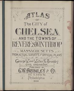
Atlas of the city of Chelsea and the towns of Revere & Winthrop, Massachusetts : from actual surveys and official plans
623.
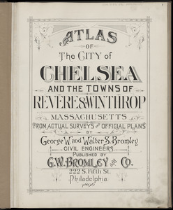
Atlas of the city of Chelsea and the towns of Revere & Winthrop, Massachusetts : from actual surveys and official plans
624.
Atlas of the city of Chelsea and the towns of Revere and Winthrop : from actual surveys and official plans
625.
Atlas of the city of Lawrence and the towns of Methuen, Andover and North Andover, Massachusetts
626.
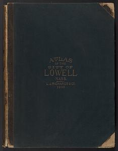
Atlas of the City of Lowell, Massachusetts : based upon and carefully compiled from the triangulation surveys, and maps in the...
627.
Atlas of the city of Lynn, Massachusetts : including, also, the towns of Swampscott and Saugus : based upon, and carefully...
628.
Atlas of the city of Medford, Middlesex County, Mass. ; Atlas of the town of Hyde Park, Norfolk County, Mass. ; Atlas of the...
629.
Atlas of the city of New Bedford, Massachusetts : based on plans in the office of the city engineer
630.
Atlas of the city of Newton, Massachusetts : from actual surveys and official plans
631.
Atlas of the city of Newton, Massachusetts : from actual surveys and official plans
632.
Atlas of the city of Newton, Massachusetts
633.
Atlas of the city of Newton, Massachusetts : compiled from actual surveys and records
634.
Atlas of the city of Newton Massachusetts : assessors block system
635.
Atlas of the city of Newton, Middlesex Co., Massachusetts : from actual survey, official records & private plans
636.
Atlas of the city of Northampton and the town of Easthampton, Hampshire County, Massachusetts
637.
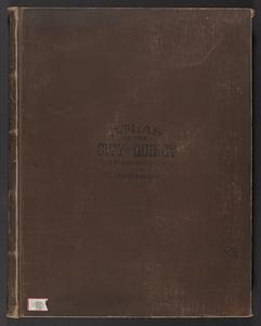
Atlas of the city of Quincy, Norfolk County, Mass. : from official plans and actual surveys
638.
Atlas of the city of Quincy, Norfolk County, Massachusetts
639.
Atlas of the city of Quincy, Norfolk County, Massachusetts
640.
Atlas of the city of Salem, Massachusetts : based on plans in the office of the City Engineer
‹ Prev
Next ›
1
2
…
28
29
30
31
32
33
34
35
36
…
441
442