Toggle navigation
LMEC Home
Exhibitions
Georeferencing
Tools for Teachers
Collections
My Favorites
Sign Up / Log In
Search
Search the map portal
Map Collection
Map Collection
Map Sets
Search
Search
Search for
Search In
All Fields
Creator
Title
Subject
Place
Search All Digital Collections
Advanced Search
8720 Results
My Search
Start Over
More Like
commonwealth:2514p140p
Remove constraint More Like: commonwealth:2514p140p
Filter your Search
Place
North and Central America
5,927
United States
4,844
Massachusetts
2,079
Europe
1,396
Suffolk (county)
1,046
Boston
1,019
Canada
449
Asia
439
more
Place
»
Topic
Boston (Mass.)--Maps
586
United States--Maps
282
Real property--Massachusetts--Boston--Maps
175
Massachusetts--Maps
162
Landowners--Massachusetts--Boston--Maps
133
North America--Maps--Early works to 1800
104
New England--Maps
102
Europe--Maps
79
more
Topic
»
Date
Date range begin
–
Date range end
Current results range from
1482
to
2023
View distribution
Creator
United States. Hydrographic Office
595
O.H. Bailey & Co
148
Des Barres, Joseph F. W. (Joseph Frederick Wallet), 1722-1824
123
United States. Post Office Dept
120
Ptolemy, 2nd cent
100
Walling, Henry Francis, 1825-1888
94
Geological Survey (U.S.)
86
Jefferys, Thomas, -1771
86
more
Creator
»
Format
Maps/Atlases
8,660
Manuscripts
215
Prints
56
Books
36
Objects/Artifacts
10
Drawings/Illustrations
8
Posters
5
Georeferenced
Yes
869
No
7,851
Collection
Norman B. Leventhal Map & Education Center Collection
8,697
Boston and New England Maps
2,233
Urban Maps
2,023
Maritime Charts and Atlases
1,083
American Revolutionary War-Era Maps
629
Boston Redevelopment Authority Collection
87
Sidney R. Knafel Map Collection at Phillips Academy
10
MacLean Collection Map Library
6
more
Collection
»
Available to use
No known restrictions
8,552
Creative Commons license
57
Search Constraints
Sort by relevance
relevance
title
date (asc)
date (desc)
Number of results to display per page
20 per page
10
per page
20
per page
50
per page
100
per page
View results as:
grid view
map view
Search Results
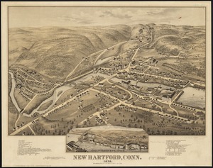
5121.
New Hartford, Conn : 1878
5122.
New Haven
5123.
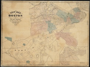
New historical map of metropolitan Boston
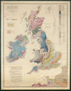
5124.
New index geological map of the British Isles, and adjacent coast of France constructed from published documents,...
5125.
New Jersey
5126.
New Jersey showing forest area and its relation to the principal watersheds
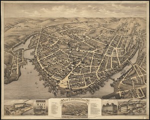
5127.
New London, Conn : 1876
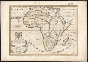
5128.
A new map of Africk : shewing its present general divisions cheif cities or towns, rivers, mountain &c. : dedicated to His...
5129.
New map of Boston
5130.
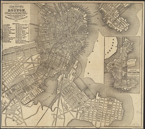
New map of Boston, comprising the whole city, with the new boundaries of the wards
5131.
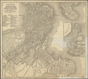
New map of Boston, comprising the whole city, with the new boundaries of the wards
5132.
New map of Boston, comprising the whole city, with the new boundaries of the wards
5133.
New map of Boston, comprising the whole city, with the new boundaries of the wards
5134.
New map of Boston, comprising the whole city, with the new boundaries of the wards
5135.
New map of Boston, comprising the whole city, with the new boundaries of the wards
5136.
New map of Boston, comprising the whole city, with the new boundaries of the wards
5137.
New map of Boston, comprising the whole city, with the new boundaries of the wards
5138.
New map of Boston, comprising the whole city, with the new boundaries of the wards
5139.
New map of Boston, comprising the whole city, with the new boundaries of the wards
5140.
New map of Boston, comprising the whole city, with the new boundaries of the wards
‹ Prev
Next ›
1
2
…
253
254
255
256
257
258
259
260
261
…
435
436