Toggle navigation
LMEC Home
Exhibitions
Georeferencing
Tools for Teachers
Collections
My Favorites
Sign Up / Log In
Search
Search the map portal
Map Collection
Map Collection
Map Sets
Search
Search
Search for
Search In
All Fields
Creator
Title
Subject
Place
Search All Digital Collections
Advanced Search
8933 Results
My Search
Start Over
More Like
commonwealth:1257c153s
Remove constraint More Like: commonwealth:1257c153s
Filter your Search
Place
North and Central America
6,164
United States
5,080
Massachusetts
2,138
Europe
1,396
Suffolk (county)
1,279
Boston
1,252
Canada
449
Asia
438
more
Place
»
Topic
Boston (Mass.)--Maps
753
United States--Maps
282
Real property--Massachusetts--Boston--Maps
254
City planning--Massachusetts--Boston--Maps
197
Landowners--Massachusetts--Boston--Maps
170
Massachusetts--Maps
166
Urban renewal--Massachusetts--Boston--Maps
105
New England--Maps
104
more
Topic
»
Date
Date range begin
–
Date range end
Current results range from
1482
to
2023
View distribution
Creator
United States. Hydrographic Office
595
Boston Redevelopment Authority
200
O.H. Bailey & Co
148
Des Barres, Joseph F. W. (Joseph Frederick Wallet), 1722-1824
124
United States. Post Office Dept
120
Ptolemy, 2nd cent
100
Walling, Henry Francis, 1825-1888
94
Geological Survey (U.S.)
87
more
Creator
»
Format
Maps/Atlases
8,873
Manuscripts
215
Prints
56
Books
36
Objects/Artifacts
10
Drawings/Illustrations
8
Posters
5
Georeferenced
Yes
886
No
8,047
Collection
Norman B. Leventhal Map & Education Center Collection
8,725
Boston and New England Maps
2,403
Urban Maps
2,187
Maritime Charts and Atlases
1,083
American Revolutionary War-Era Maps
638
Boston Redevelopment Authority Collection
235
Massachusetts Real Estate Atlases
38
Mapping Boston Collection
20
more
Collection
»
Available to use
No known restrictions
8,710
Creative Commons license
70
Search Constraints
Sort by relevance
relevance
title
date (asc)
date (desc)
Number of results to display per page
20 per page
10
per page
20
per page
50
per page
100
per page
View results as:
grid view
map view
Search Results
581.
New map of the vicinity of Boston, with the dates of settlement and distance from the capital
582.
New map of the vicinity of Boston, with the dates of settlement, population in 1840, and distance from the capital
583.
A new plan of Boston : drawn from the best authorities with the latest improvements, additionas and corrections
584.
Official map of Boston
585.
One way streets, metered block faces, parking restriction areas and signal locations within the Boston regional core
586.
Open space 2017
587.
Outline map of Boston
588.
Outline plan showing the growth of Boston
589.
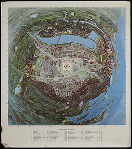
Panoramic view of Boston centered on the Prudential Tower
590.
Panoramic view of Boston showing golden semicircle
591.
Percent foreign-born
592.
Pianta della città di Boston
593.
Plan and profiles of surveys from Farm Pond in Framingham and Long Pond in Natick, for supplying water to the City of Boston
594.
A plan for the Central Artery
595.
Plan for the diversion and enclosure of Stony Brook : to accompany report of W.H. Bradley, November 1864
596.
Plan for the occupation of flats owned by the Commonwealth in Boston Harbor
597.
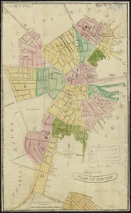
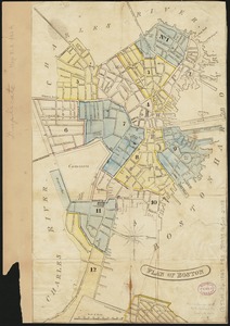
Plan of Back Bay and vicinity : prepared from surveys made under the direction of Simon Greenleaf, Joel Giles, Ezra Lincoln,...
598.
Plan of Boston
599.
Plan of Boston
600.
Plan of Boston
‹ Prev
Next ›
1
2
…
26
27
28
29
30
31
32
33
34
…
446
447