Toggle navigation
LMEC Home
Exhibitions
Georeferencing
Tools for Teachers
Collections
My Favorites
Sign Up / Log In
Search
Search the map portal
Map Collection
Map Collection
Map Sets
Search
Search
Search for
Search In
All Fields
Creator
Title
Subject
Place
Search All Digital Collections
Advanced Search
8772 Results
My Search
Start Over
More Like
commonwealth:1257bx61p
Remove constraint More Like: commonwealth:1257bx61p
Filter your Search
Place
North and Central America
6,067
United States
4,989
Massachusetts
2,107
Europe
1,359
Suffolk (county)
1,252
Boston
1,225
Canada
448
Asia
422
more
Place
»
Topic
Boston (Mass.)--Maps
741
United States--Maps
273
Real property--Massachusetts--Boston--Maps
252
City planning--Massachusetts--Boston--Maps
186
Landowners--Massachusetts--Boston--Maps
169
Massachusetts--Maps
163
North America--Maps--Early works to 1800
103
New England--Maps
101
more
Topic
»
Date
Date range begin
–
Date range end
Current results range from
1482
to
2023
View distribution
Creator
United States. Hydrographic Office
594
Boston Redevelopment Authority
191
O.H. Bailey & Co
148
Des Barres, Joseph F. W. (Joseph Frederick Wallet), 1722-1824
124
United States. Post Office Dept
120
Ptolemy, 2nd cent
100
Walling, Henry Francis, 1825-1888
94
Geological Survey (U.S.)
87
more
Creator
»
Format
Maps/Atlases
8,713
Manuscripts
215
Prints
56
Books
36
Objects/Artifacts
10
Drawings/Illustrations
8
Posters
4
Georeferenced
Yes
885
No
7,887
Collection
Norman B. Leventhal Map & Education Center Collection
8,576
Boston and New England Maps
2,358
Urban Maps
2,087
Maritime Charts and Atlases
1,081
American Revolutionary War-Era Maps
638
Boston Redevelopment Authority Collection
223
Massachusetts Real Estate Atlases
38
Mapping Boston Collection
20
more
Collection
»
Available to use
No known restrictions
8,550
Creative Commons license
69
Search Constraints
Sort by relevance
relevance
title
date (asc)
date (desc)
Number of results to display per page
20 per page
10
per page
20
per page
50
per page
100
per page
View results as:
grid view
map view
Search Results
1761.
Caribbean Sea--Yucatan, special plans to chart no. 401 : from British surveys, corrected to 1872
1762.
The Caribbee Islands and Guayana
1763.
Caribou, Aroostook Co. Maine : 1893
1764.
Caribou National Forest, Idaho
1765.
Carl Jügel's post u. reise karte von Deutschland und den nachbar staaten, bis London, Paris, Montpellier, Florenz, Warschau,...
1766.
Carolina
1767.
Carolina is by vertue of a warr and under of hand and se all of the Right Honble. Charles Craven, Esqt. Governr. of this...
1768.
Caroline Islands, Yap Island
1769.
Carpathes - Roumanie - Balkans
1770.
Carriers of the new black plague
1771.
Carsonia the great betrayal!
1772.
Carta corografica del Distrito Federal
1773.
Carta corográfica del estado de Oaxaca y de su capital y alrededores
1774.
Carta de' contorni di Napoli
1775.
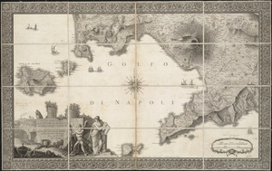
Carta Del Littorale Di Napoli e de luoghi antichi più rimarchevoli di quei Contorni
1776.
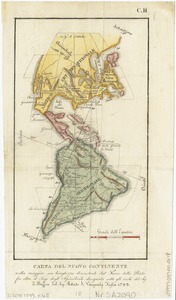
Carta del nuovo continente : nella maggior sua lunghezza diametrale dal fiume della Plata fin oltre il lago degli Assiniboils
1777.
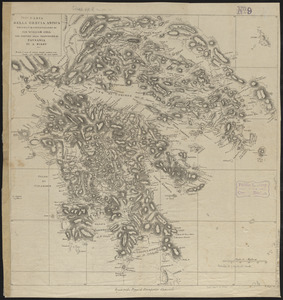
Carta della Grecia antica secondo le osservazioni di Sir William Gell per servire alla traduzione di Pausania di A. Nibby
1778.
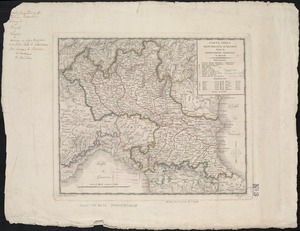
Carta della Repubblica Italiana divisa in dipartimenti, ripartiti in distretti
1779.
Carta d'Italia : alla scala di la 800,000
1780.
Carta esférica de la bahía de Manila trabajada de orden del Rey á borda de las corvetas descubierta y atrevída de la...
‹ Prev
Next ›
1
2
…
85
86
87
88
89
90
91
92
93
…
438
439