Toggle navigation
LMEC Home
Exhibitions
Georeferencing
Tools for Teachers
Collections
My Favorites
Sign Up / Log In
Search
Search the map portal
Map Collection
Map Collection
Map Sets
Search
Search
Search for
Search In
All Fields
Creator
Title
Subject
Place
Search All Digital Collections
Advanced Search
8581 Results
My Search
Start Over
More Like
commonwealth:1257bb08n
Remove constraint More Like: commonwealth:1257bb08n
Filter your Search
Place
North and Central America
5,876
United States
4,800
Massachusetts
2,068
Europe
1,359
Suffolk (county)
1,054
Boston
1,027
Canada
448
Asia
422
more
Place
»
Topic
Boston (Mass.)--Maps
577
United States--Maps
273
Real property--Massachusetts--Boston--Maps
174
Massachusetts--Maps
160
Landowners--Massachusetts--Boston--Maps
132
North America--Maps--Early works to 1800
103
New England--Maps
99
Europe--Maps
78
more
Topic
»
Date
Date range begin
–
Date range end
Current results range from
1482
to
2023
View distribution
Creator
United States. Hydrographic Office
594
O.H. Bailey & Co
148
Des Barres, Joseph F. W. (Joseph Frederick Wallet), 1722-1824
125
United States. Post Office Dept
120
Ptolemy, 2nd cent
100
Walling, Henry Francis, 1825-1888
94
Geological Survey (U.S.)
86
Jefferys, Thomas, -1771
85
more
Creator
»
Format
Maps/Atlases
8,522
Manuscripts
215
Prints
56
Books
36
Objects/Artifacts
10
Drawings/Illustrations
8
Posters
4
Georeferenced
Yes
873
No
7,708
Collection
Norman B. Leventhal Map & Education Center Collection
8,566
Boston and New England Maps
2,219
Urban Maps
1,941
Maritime Charts and Atlases
1,088
American Revolutionary War-Era Maps
641
Boston Redevelopment Authority Collection
87
Mapping Boston Collection
17
Richard H. Brown Revolutionary War Map Collection at Mount Vernon
6
more
Collection
»
Available to use
No known restrictions
8,409
Creative Commons license
77
Search Constraints
Sort by relevance
relevance
title
date (asc)
date (desc)
Number of results to display per page
20 per page
10
per page
20
per page
50
per page
100
per page
View results as:
grid view
map view
Search Results
7561.
State of Louisiana
7562.
State of Louisiana, highlighting low-lying areas derived from USGS digital elevation data
7563.
State of Maine
7564.
State of Maine
7565.
The state of Maryland, from the best authorities
7566.
The state of Massachusetts : compiled from the best authorities
7567.
The state of Massachusetts from the best information
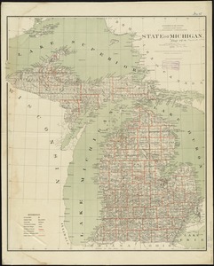
7568.
State of Michigan
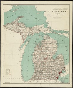
7569.
State of Michigan
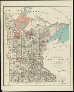
7570.
State of Minnesota
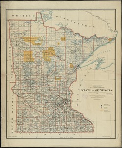
7571.
State of Minnesota
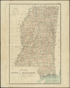
7572.
State of Mississippi
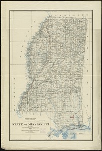
7573.
State of Mississippi
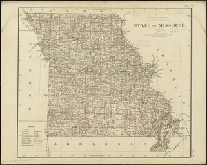
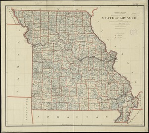
7574.
State of Missouri
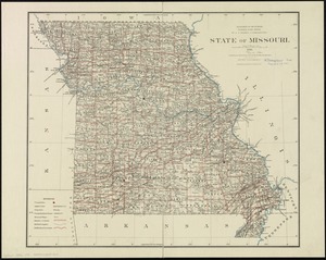
7575.
State of Missouri
7576.
State of Missouri
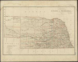
7577.
State of Nebraska
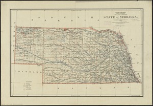
7578.
State of Nebraska
7579.
State of Nevada
7580.
The state of New Hampshire
‹ Prev
Next ›
1
2
…
375
376
377
378
379
380
381
382
383
…
429
430