Search Constraints
Search Results


4705. Mare del Nord
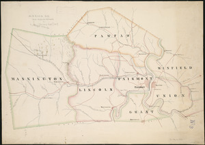
4707. Marion Co

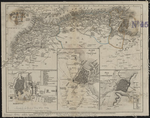
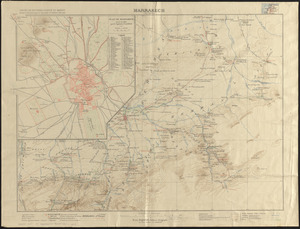
4710. Marrakech
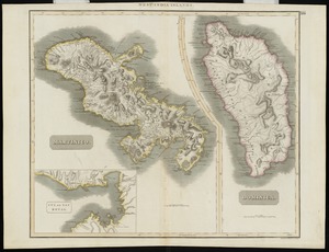
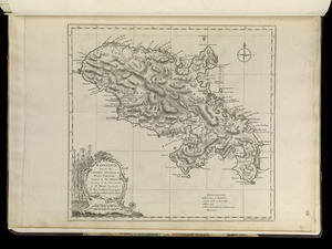
4712. Martinico, Dominica

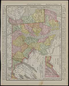
4714. Maryland
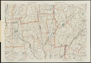
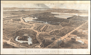
4716. Massachusetts

4717. Massachusetts

4718. Massachusetts

4719. Massachusetts
