Toggle navigation
LMEC Home
Exhibitions
Georeferencing
Tools for Teachers
Collections
My Favorites
Sign Up / Log In
Search
Search the map portal
Map Collection
Map Collection
Map Sets
Search
Search
Search for
Search In
All Fields
Creator
Title
Subject
Place
Search All Digital Collections
Advanced Search
8697 Results
My Search
Start Over
More Like
commonwealth:0z709313w
Remove constraint More Like: commonwealth:0z709313w
Filter your Search
Place
North and Central America
5,928
United States
4,847
Massachusetts
2,080
Europe
1,396
Suffolk (county)
1,046
Boston
1,019
Canada
450
Asia
438
more
Place
»
Topic
Boston (Mass.)--Maps
586
United States--Maps
282
Real property--Massachusetts--Boston--Maps
175
Massachusetts--Maps
162
Landowners--Massachusetts--Boston--Maps
133
North America--Maps--Early works to 1800
103
New England--Maps
102
Europe--Maps
79
more
Topic
»
Date
Date range begin
–
Date range end
Current results range from
1482
to
2023
View distribution
Creator
United States. Hydrographic Office
595
O.H. Bailey & Co
148
Des Barres, Joseph F. W. (Joseph Frederick Wallet), 1722-1824
123
United States. Post Office Dept
120
Ptolemy, 2nd cent
100
Walling, Henry Francis, 1825-1888
94
Geological Survey (U.S.)
86
Jefferys, Thomas, -1771
85
more
Creator
»
Format
Maps/Atlases
8,637
Manuscripts
215
Prints
56
Books
36
Objects/Artifacts
10
Drawings/Illustrations
8
Posters
5
Georeferenced
Yes
869
No
7,828
Collection
Norman B. Leventhal Map & Education Center Collection
8,695
Boston and New England Maps
2,233
Urban Maps
2,023
Maritime Charts and Atlases
1,083
American Revolutionary War-Era Maps
618
Boston Redevelopment Authority Collection
87
William L. Clements Library Collection
2
Applied Geographics, Inc. Records
1
Available to use
No known restrictions
8,553
Creative Commons license
47
Search Constraints
Sort by relevance
relevance
title
date (asc)
date (desc)
Number of results to display per page
20 per page
10
per page
20
per page
50
per page
100
per page
View results as:
grid view
map view
Search Results
1801.
Contado di Molise et principato vltra
1802.
The contending states - boundaries of 350 B.C.
1803.
Contents of composite atlas
1804.
Contents of composite atlas verso
1805.
Contents of composite atlas volume 2
1806.
Contents of composite atlas volume 2 verso
1807.
Contour plan, Melbourne and suburbs
1808.
Conway Harbour : Port Aylesbury
1809.
Conway, N.H. : 1896
1810.
Cook's literary and historical map of London
1811.
Copia del Rio de Sn. Andres
1812.
Copies of plans of various parts of Brookline and Roxbury
1813.
Copy of a plan of South Bay
1814.
Copy of an ancient plan belonging to the City (not dated probably about 1738)
1815.
Copy of an old plan belonging to the city
1816.
Copy of part of plan of inner harbor of Boston, showing commissioners' lines
1817.
Corey Hill Terraces, Brookline
1818.
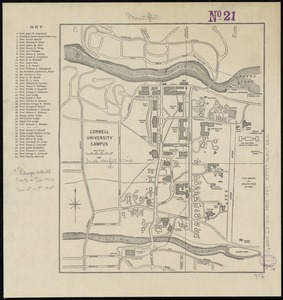
Cornell University campus
1819.
Cornubia, Davonia, Somersetus, Dorcestria, Wiltonia, Glocestria, Monumetha, Glamorgan, Caermarden, Pembroke, Cardigan, Radnor,...
1820.
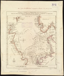
A correct chart of the North Sea, with the adjacent coasts of Britain, Holland, Germany, Denmark, Norway, the islands of Orkney...
‹ Prev
Next ›
1
2
…
87
88
89
90
91
92
93
94
95
…
434
435