Toggle navigation
LMEC Home
Exhibitions
Georeferencing
Tools for Teachers
Collections
My Favorites
Sign Up / Log In
Search
Search the map portal
Map Collection
Map Collection
Map Sets
Search
Search
Search for
Search In
All Fields
Creator
Title
Subject
Place
Search All Digital Collections
Advanced Search
8742 Results
My Search
Start Over
More Like
commonwealth:0z709278h
Remove constraint More Like: commonwealth:0z709278h
Filter your Search
Place
North and Central America
5,973
United States
4,870
Massachusetts
2,079
Europe
1,396
Suffolk (county)
1,046
Boston
1,019
Canada
477
Asia
438
more
Place
»
Topic
Boston (Mass.)--Maps
586
United States--Maps
282
Real property--Massachusetts--Boston--Maps
175
Massachusetts--Maps
163
Landowners--Massachusetts--Boston--Maps
133
New England--Maps
106
North America--Maps--Early works to 1800
103
Europe--Maps
79
more
Topic
»
Date
Date range begin
–
Date range end
Current results range from
1482
to
2023
View distribution
Creator
United States. Hydrographic Office
595
O.H. Bailey & Co
148
Des Barres, Joseph F. W. (Joseph Frederick Wallet), 1722-1824
123
United States. Post Office Dept
120
Ptolemy, 2nd cent
100
Walling, Henry Francis, 1825-1888
94
Geological Survey (U.S.)
90
Jefferys, Thomas, -1771
85
more
Creator
»
Format
Maps/Atlases
8,682
Manuscripts
218
Prints
56
Books
36
Objects/Artifacts
10
Drawings/Illustrations
8
Posters
5
Georeferenced
Yes
869
No
7,873
Collection
Norman B. Leventhal Map & Education Center Collection
8,699
Boston and New England Maps
2,238
Urban Maps
2,023
Maritime Charts and Atlases
1,083
American Revolutionary War-Era Maps
657
Boston Redevelopment Authority Collection
87
William L. Clements Library Collection
22
Maps from AAS
9
more
Collection
»
Available to use
No known restrictions
8,557
Creative Commons license
49
Search Constraints
Sort by relevance
relevance
title
date (asc)
date (desc)
Number of results to display per page
20 per page
10
per page
20
per page
50
per page
100
per page
View results as:
grid view
map view
Search Results
6901.
Preliminary sketch showing the positions of Davis's Shoal and other dangers recently discovered by the Coast Survey and the...
6902.
Preliminary study of a plan for a Pleasure Bay between Dorchester Point and Castle Island
6903.
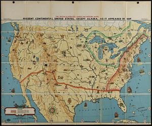
Present continental United States, except Alaska, as it appeared in 1609
6904.
Presidential and other elections, 1800
6905.
Presidential and other elections, 1804
6906.
Presidential and other elections, 1808
6907.
Presidential and other elections, 1812
6908.
Presidential and other elections, 1816
6909.
Presidential election 1820
6910.
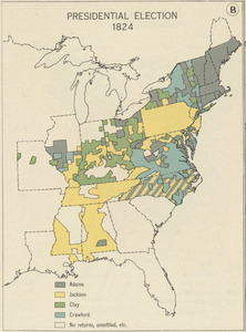
Presidential election 1824
6911.
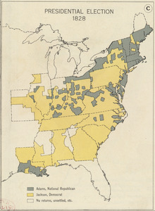
Presidential election 1828
6912.
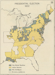
Presidential election 1832
6913.
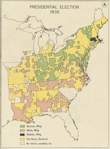
Presidential election 1836
6914.
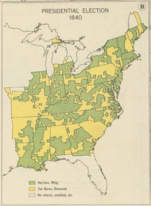
Presidential election 1840
6915.
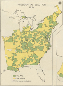
Presidential election 1844
6916.
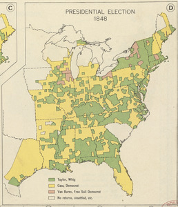
Presidential election 1848
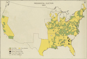
6917.
Presidential election 1852
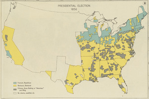
6918.
Presidential election 1856
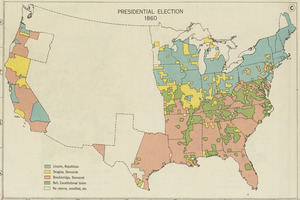
6919.
Presidential election 1860
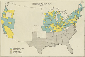
6920.
Presidential election 1864
‹ Prev
Next ›
1
2
…
342
343
344
345
346
347
348
349
350
…
437
438