Toggle navigation
LMEC Home
Exhibitions
Georeferencing
Tools for Teachers
Collections
My Favorites
Sign Up / Log In
Search
Search the map portal
Map Collection
Map Collection
Map Sets
Search
Search
Search for
Search In
All Fields
Creator
Title
Subject
Place
Search All Digital Collections
Advanced Search
8618 Results
My Search
Start Over
More Like
commonwealth:0r96fn93f
Remove constraint More Like: commonwealth:0r96fn93f
Filter your Search
Place
North and Central America
5,901
United States
4,827
Massachusetts
2,052
Europe
1,359
Suffolk (county)
1,035
Boston
1,007
Canada
463
Asia
422
more
Place
»
Topic
Boston (Mass.)--Maps
577
United States--Maps
314
Real property--Massachusetts--Boston--Maps
174
Massachusetts--Maps
160
Landowners--Massachusetts--Boston--Maps
132
North America--Maps--Early works to 1800
103
New England--Maps
99
Manuscript maps
84
more
Topic
»
Date
Date range begin
–
Date range end
Current results range from
1482
to
2023
View distribution
Creator
United States. Hydrographic Office
594
O.H. Bailey & Co
148
Des Barres, Joseph F. W. (Joseph Frederick Wallet), 1722-1824
123
United States. Post Office Dept
120
Ptolemy, 2nd cent
100
Walling, Henry Francis, 1825-1888
94
Geological Survey (U.S.)
87
Jefferys, Thomas, -1771
85
more
Creator
»
Format
Maps/Atlases
8,559
Manuscripts
241
Prints
56
Books
36
Objects/Artifacts
10
Drawings/Illustrations
8
Posters
4
Georeferenced
Yes
871
No
7,747
Collection
Norman B. Leventhal Map & Education Center Collection
8,559
Boston and New England Maps
2,204
Urban Maps
1,936
Maritime Charts and Atlases
1,081
American Revolutionary War-Era Maps
675
Boston Redevelopment Authority Collection
87
Library of Congress Collection
22
American Antiquarian Society Collection
20
more
Collection
»
Available to use
No known restrictions
8,413
Creative Commons license
74
Search Constraints
Sort by relevance
relevance
title
date (asc)
date (desc)
Number of results to display per page
20 per page
10
per page
20
per page
50
per page
100
per page
View results as:
grid view
map view
Search Results
1621.
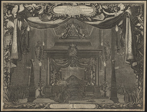
Castrum doloris in funere sereniss: ac potentiss: principis ac Dn: Dn: Caroli Gustavi, Suecorum, Gothorum, Vandalorumq: regis...
1622.
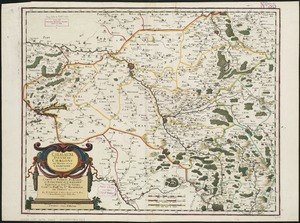
Catalauni : evesché de Chalons sur Marne, et en Champagne
1623.
The Catholic Netherlands, divided into their several provinces with the roads
1624.
Cattalina Harbor
1625.
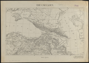
The Caucasus
1626.
Caucasus, Central Asia and Turkey
1627.
Cavite
1628.
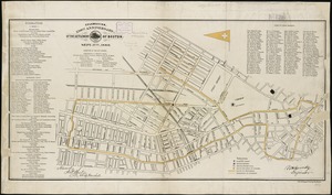
Celebration, 250th anniversary of the settlement of Boston, Sept. 17th, 1880
1629.
Celssissimo potentissimo invictissimoque Principi Frederico Guilielmo II D G Marchioni Brandenburgico, S R I Electori ac...
1630.
Cenomanorum galliae regionis typus : vulgo Le Mans
1631.
Centennial map of Concord, 1775-1875
1632.
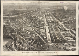
The Centennial-balloon view of the grounds
1633.
Center of New York, first city of the world
1634.
Central & Eastern Europe (nationalities)
1635.
Central Africa
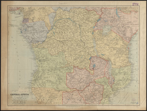
1636.
Central Africa
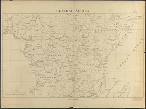
1637.
Central Africa
1638.
Central America, British Honduras, Belize Harbor : from a British Survey in 1829 & 30
1639.
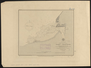
Central America, north coast of Panama, Port Chagres : from a British survey in 1829 & 1840, and a survey in 1875 by the...
1640.
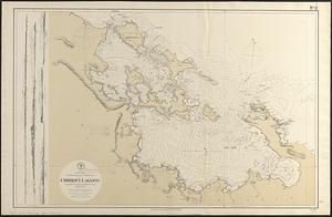
Central America, southern shore of the Caribbean Sea, Chiriqui Lagoon
‹ Prev
Next ›
1
2
…
78
79
80
81
82
83
84
85
86
…
430
431