Toggle navigation
LMEC Home
Exhibitions
Georeferencing
Tools for Teachers
Collections
My Favorites
Sign Up / Log In
Search
Search the map portal
Map Collection
Map Collection
Map Sets
Search
Search
Search for
Search In
All Fields
Creator
Title
Subject
Place
Search All Digital Collections
Advanced Search
668 Results
My Search
Start Over
More Like
commonwealth:0c486275s
Remove constraint More Like: commonwealth:0c486275s
Filter your Search
Place
North and Central America
665
United States
662
Suffolk (county)
655
Boston
654
Massachusetts
321
Roxbury
74
South End
54
Fens
47
more
Place
»
Topic
City planning--Massachusetts--Boston--Maps
417
Urban renewal--Massachusetts--Boston--Maps
253
Real property--Massachusetts--Boston--Maps
251
Boston (Mass.)--Maps
205
Landowners--Massachusetts--Boston--Maps
139
Buildings--Massachusetts--Boston--Maps
115
Land use--Massachusetts--Boston--Maps
100
Roxbury (Boston, Mass.)--Maps
71
more
Topic
»
Date
Date range begin
–
Date range end
Current results range from
1798
to
2023
View distribution
Creator
Boston Redevelopment Authority
372
Bromley, George Washington
68
Bromley, Walter Scott
68
G.W. Bromley & Co.
46
Wadsworth, Alexander, 1806-1898
19
Hopkins, Griffith Morgan, Jr.
15
Downtown Waterfront Corporation
10
Victor Gruen Associates
10
more
Creator
»
Format
Maps/Atlases
667
Manuscripts
5
Drawings/Illustrations
3
Prints
1
Georeferenced
Yes
9
No
659
Collection
Boston and New England Maps
624
Urban Maps
610
Boston Redevelopment Authority Collection
441
Norman B. Leventhal Map & Education Center Collection
247
Massachusetts Real Estate Atlases
35
American Revolutionary War-Era Maps
1
Available to use
No known restrictions
630
Creative Commons license
2
Search Constraints
Sort by relevance
relevance
title
date (asc)
date (desc)
Number of results to display per page
20 per page
10
per page
20
per page
50
per page
100
per page
View results as:
grid view
map view
Search Results
1.
Basement plan of terminal station at Boston, Massachusetts, for the N.Y.N.H & H. and B. & A. railroads
2.
South Station development study : parcel plan
3.
Mattapan project : property map
4.
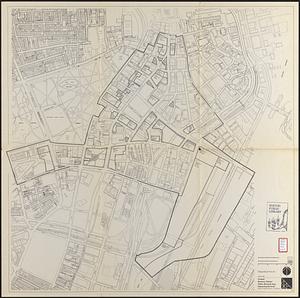
Park Plaza urban renewal area : map no. 6 land disposal map
5.
South Station development study : access plan
6.
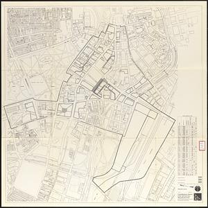
South Station development study : site location and functional areas
7.
South Station development study : estimated track retirement
8.
Central business district urban renewal area Massachusetts r-82 : pedestrian circulation
9.
Central business district urban renewal area Massachusetts r-82 : disposition parcels
10.
Central business district urban renewal area Massachusetts r-82 : disposition parcels
11.
Central business district urban renewal area Massachusetts r-82 A,B,C : disposition parcels
12.
Charlestown urban renewal area r-55 : right of way adjustments
13.
Downtown project no. Mass. r-46 : proposed circulation and boundary adjustments
14.
Government Center project no. Mass. r-35 : disposition parcel map
15.
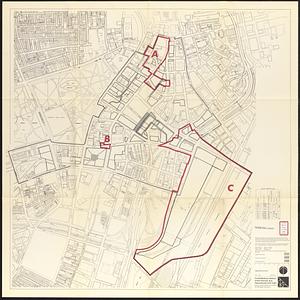
Government Center project no. Mass. r-35 : proposed land use map
16.
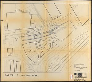
Government Center urban renewal area r-35 : parcel-7 easement plan
17.
Campus High School urban renewal area Mass. r-129 : property map
18.
Campus High School urban renewal area Mass. r-129 : disposition parcels
19.
Central business district urban renewal area Massachusetts r-82 : acquisition plan
20.
Central business district urban renewal area Massachusetts r-82 : property map
‹ Prev
Next ›
1
2
3
4
5
…
33
34