Toggle navigation
LMEC Home
Exhibitions
Georeferencing
Tools for Teachers
Collections
My Favorites
Sign Up / Log In
Search
Search the map portal
Map Collection
Map Collection
Map Sets
Search
Search
Search for
Search In
All Fields
Creator
Title
Subject
Place
Search All Digital Collections
Advanced Search
54 Results
My Search
Start Over
More Like
commonwealth-oai:jq089f965
Remove constraint More Like: commonwealth-oai:jq089f965
Place
New Jersey
Remove constraint Place: New Jersey
Filter your Search
Place
New Jersey
[remove]
54
North and Central America
54
United States
54
Monmouth (county)
11
Hudson (county)
10
New York
8
Jersey City
7
Pennsylvania
7
more
Place
»
Topic
United States--History--Revolution, 1775-1783--Maps
48
New Jersey--Maps
14
Paulus Hook (N.J.)--Maps
7
Pennsylvania--Maps
6
Middlesex County (N.J.)--Maps
5
Monmouth County (N.J.)--Maps
5
Roads--New Jersey--Maps
5
Bergen County (N.J.)--Maps
4
more
Topic
»
Date
Date range begin
–
Date range end
Current results range from
1770
to
1800
1770 : 1801
1770
1801
View distribution
Creator
Hills, John, active 1777-1819
9
Montrésor, John, 1736-1799
6
Clinton, Henry, Sir, 1738?-1795
5
André, John, 1751-1780
3
Martin, Reinhard Jacob
2
Nicole, Pierre, -1784
2
Beakes, Edmund
1
Churchman, John, 1753-1805
1
more
Creator
»
Format
Maps/Atlases
54
Georeferenced
No
54
Collection
American Revolutionary War-Era Maps
54
William L. Clements Library Collection
54
Search Constraints
Sort by relevance
relevance
title
date (asc)
date (desc)
Number of results to display per page
20 per page
10
per page
20
per page
50
per page
100
per page
View results as:
grid view
map view
Search Results
1.
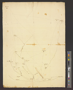
Affaire de Monmouth ce 28me Juin 1778
2.
Battle of Monmouth, 28th June 1778
3.
Battle of Monmouth, 28th June 1778
4.
Bridge from Staten Island to the Jersies, by Cn. Laird's description
5.
Burlington, New Jersey, and Bristol, Pennsylvania
6.
A chorographical map of the country round Philadelphia = Carte particuliere des environs de Philadelphia
7.
A compleat plan of part of the province of Pennsylvania East and West Jersey shewing the transactions of the royal army under...
8.
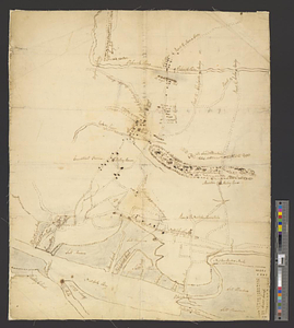
Fort Lee
9.
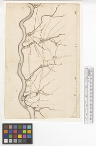
From Freehold toward Trenton
10.
A map of the Delaware and Chesapeak bays with the peninsula between them
11.
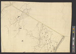
Monmouth County, New Jersey
12.
A new and accurate map of New Jersey, from the best authorities
13.
Newark Bay and its immediate vicinity
14.
Newark, New Jersey
15.
Northern New Jersey
16.
Part of modern Monmouth County, 1778
17.
Part of Monmouth County, New Jersey
18.
Part of the modern counties of Bergen, Passaic, and Sussex, New Jersey
19.
Part of the modern counties of Burlington and Camden, New Jersey
20.
Part of the modern counties of Essex and Hudson, New Jersey
+
-
Redo search here
Search when I move the map
Leaflet
| ©
OpenStreetMap
contributors, ©
CartoDB
‹ Prev
Next ›
1
2
3