Toggle navigation
LMEC Home
Exhibitions
Georeferencing
Tools for Teachers
Collections
My Favorites
Sign Up / Log In
Search
Search the map portal
Map Collection
Map Collection
Map Sets
Search
Search
Search for
Search In
All Fields
Creator
Title
Subject
Place
Search All Digital Collections
Advanced Search
14 Results
My Search
Start Over
More Like
commonwealth:1831g711d
Remove constraint More Like: commonwealth:1831g711d
Creator
Carey, Mathew, 1760-1839
Remove constraint Creator: Carey, Mathew, 1760-1839
Filter your Search
Place
North and Central America
14
United States
13
Massachusetts
4
Canada
1
Kentucky
1
Maryland
1
New Jersey
1
New York
1
more
Place
»
Topic
Massachusetts--Maps
4
United States--Maps
2
United States--Maps--Early works to 1800
2
Canada--Maps--Early works to 1800
1
Kentucky--Maps
1
Maryland--Maps
1
New Jersey--Maps
1
New York (State)--Maps
1
more
Topic
»
Date
Date range begin
–
Date range end
Current results range from
1795
to
1899
1795 : 1900
1795
1900
View distribution
Creator
Carey, Mathew, 1760-1839
[remove]
14
Lewis, Samuel, 1753 or 1754-1822
4
Barker, W. (William), active 1795-1803
2
Harrison, William, 1774-
2
Barker, Elihu
1
Barker, William
1
Lewis, Samuel, 1753 or 4-1822
1
Scott, J. T. (Joseph T.)
1
Format
Maps/Atlases
14
Georeferenced
Yes
2
No
12
Collection
American Revolutionary War-Era Maps
12
MacLean Collection Map Library
10
Boston and New England Maps
2
Norman B. Leventhal Map & Education Center Collection
2
Sidney R. Knafel Map Collection at Phillips Academy
2
Available to use
No known restrictions
2
Search Constraints
Sort by relevance
relevance
title
date (asc)
date (desc)
Number of results to display per page
20 per page
10
per page
20
per page
50
per page
100
per page
View results as:
grid view
map view
Search Results
1.
Massachusetts
2.
Massachusetts
3.
The state of Massachusetts
4.
The state of Massachusetts : compiled from the best authorities
5.
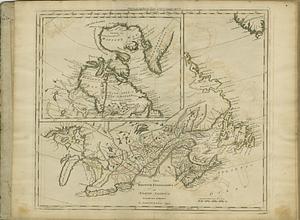
The British possessions in North America from the best authorities
6.
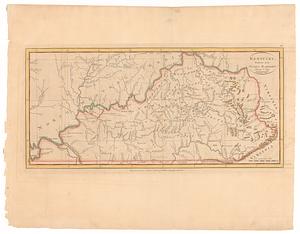
Kentucky, reduced from Elihu Barker's large map
7.
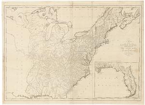
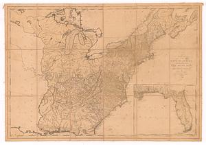
A map of the United States: compiled chiefly from the state maps, and other authentic information
8.
A map of the United States: compiled chiefly from the state maps, and other authentic information
9.
A map of the United States: compiled chiefly from the state maps, and other authentic information
10.
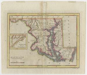
Maryland
11.
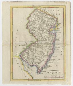
New Jersey
12.
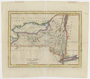
New York
13.
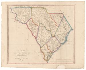
The state of South Carolina: from the best authorities
14.
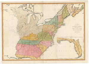
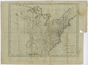
The United States of America