Toggle navigation
LMEC Home
Exhibitions
Georeferencing
Tools for Teachers
Collections
My Favorites
Sign Up / Log In
Search
Search the map portal
Map Collection
Map Collection
Map Sets
Search
Search
Search for
Search In
All Fields
Creator
Title
Subject
Place
Search All Digital Collections
Advanced Search
13669 Results
Filter your Search
Place
North and Central America
10,335
United States
8,466
Massachusetts
2,784
Suffolk (county)
1,677
Boston
1,633
Europe
1,413
Canada
950
New York
649
more
Place
»
Topic
Boston (Mass.)--Maps
747
City planning--Massachusetts--Boston--Maps
418
United States--History--Revolution, 1775-1783--Maps
329
United States--Maps
321
Real property--Massachusetts--Boston--Maps
254
Urban renewal--Massachusetts--Boston--Maps
254
Massachusetts--Maps
231
Insurance surveys
197
more
Topic
»
Date
Date range begin
–
Date range end
Current results range from
1482
to
2023
View distribution
Creator
United States. Hydrographic Office
597
Boston Redevelopment Authority
404
Des Barres, Joseph F. W. (Joseph Frederick Wallet), 1722-1824
247
Royal United Services Institute for Defence and Security Studies
160
Jefferys, Thomas, -1771
154
George, III, King of Great Britain, 1738-1820
152
George, IV, King of Great Britain, 1762-1830
151
O.H. Bailey & Co
148
more
Creator
»
Format
Maps/Atlases
13,488
Manuscripts
985
Prints
102
Books
49
Drawings/Illustrations
44
Photographs
15
Objects/Artifacts
13
Documents
7
more
Format
»
Georeferenced
Yes
979
No
12,690
Collection
Norman B. Leventhal Map & Education Center Collection
9,088
American Revolutionary War-Era Maps
3,305
Boston and New England Maps
2,909
Urban Maps
2,465
Maritime Charts and Atlases
1,169
William L. Clements Library Collection
910
Library of Congress Collection
618
Boston Redevelopment Authority Collection
475
more
Collection
»
Available to use
No known restrictions
10,236
Creative Commons license
1,677
Search Constraints
Sort by relevance
relevance
title
date (asc)
date (desc)
Number of results to display per page
20 per page
10
per page
20
per page
50
per page
100
per page
View results as:
grid view
map view
Search Results
5681.
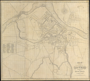
Map of the city of Lowell : surveyed in 1841 by order of the principal authorities
5682.
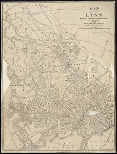
Map of the city of Lynn
5683.
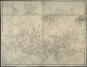
Map of the city of Lynn Massachusetts
5684.
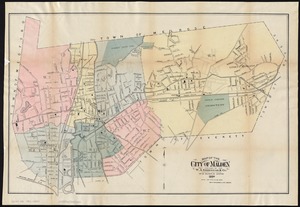
Map of the city of Malden
5685.
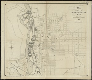
Map of the city of Manchester, N.H
5686.
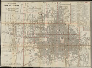
Map of the city of Mexico authorized for publication with the Mexican guide
5687.
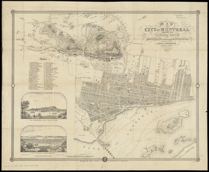
Map of the city of Montreal : shewing the Victoria Bridge, the mountain & proposed boulevard, and the different dock projects
5688.
Map of the city of New Bedford, Bristol County, Mass.
5689.
Map of the city of New Orleans, and the adjacent towns
5690.
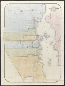
Map of the City of New Rochelle, N.Y
5691.
Map of the city of New York
5692.
Map of the city of New York and its vicinity
5693.
Map of the city of New York, with the latest improvements
5694.
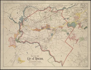
Map of the city of Newton, and surroundings, Mass
5695.
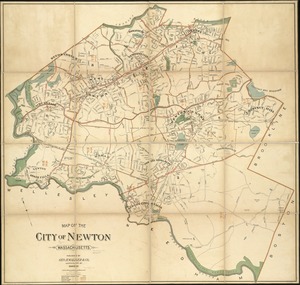
Map of the city of Newton Massachusetts
5696.
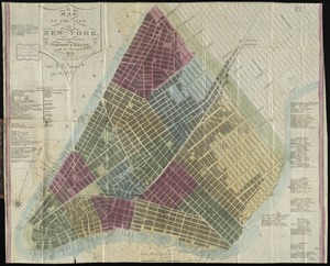
Map of the city of New-York extending northward to Fiftieth Street
5697.
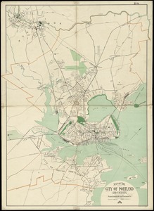
Map of the city of Portland and vicinity
5698.
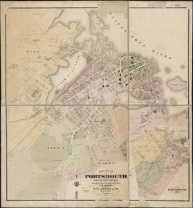
Map of the city of Portsmouth New Hampshire
5699.
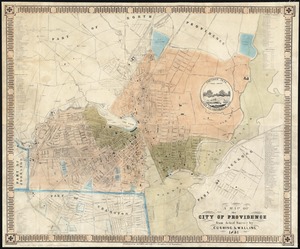
A map of the city of Providence : from actual survey
5700.
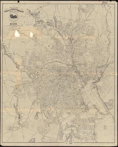
Map of the city of Providence, Rhode Island : compiled from the most authentic sources
‹ Prev
Next ›
1
2
…
281
282
283
284
285
286
287
288
289
…
683
684