Toggle navigation
LMEC Home
Exhibitions
Georeferencing
Tools for Teachers
Collections
My Favorites
Sign Up / Log In
Search
Search the map portal
Map Collection
Map Collection
Map Sets
Search
Search
Search for
Search In
All Fields
Creator
Title
Subject
Place
Search All Digital Collections
Advanced Search
13385 Results
Filter your Search
Place
North and Central America
10,111
United States
8,249
Massachusetts
2,691
Suffolk (county)
1,664
Boston
1,621
Europe
1,386
Canada
949
New York
640
more
Place
»
Topic
Boston (Mass.)--Maps
741
City planning--Massachusetts--Boston--Maps
418
United States--History--Revolution, 1775-1783--Maps
329
United States--Maps
315
Urban renewal--Massachusetts--Boston--Maps
254
Real property--Massachusetts--Boston--Maps
252
Massachusetts--Maps
219
Insurance surveys
197
more
Topic
»
Date
Date range begin
–
Date range end
Current results range from
1482
to
2023
View distribution
Creator
United States. Hydrographic Office
595
Boston Redevelopment Authority
403
Des Barres, Joseph F. W. (Joseph Frederick Wallet), 1722-1824
247
Royal United Services Institute for Defence and Security Studies
160
Jefferys, Thomas, -1771
154
George, III, King of Great Britain, 1738-1820
152
George, IV, King of Great Britain, 1762-1830
151
O.H. Bailey & Co
148
more
Creator
»
Format
Maps/Atlases
13,205
Manuscripts
985
Prints
102
Books
49
Drawings/Illustrations
44
Photographs
15
Objects/Artifacts
13
Documents
7
more
Format
»
Georeferenced
Yes
979
No
12,406
Collection
Norman B. Leventhal Map & Education Center Collection
8,891
American Revolutionary War-Era Maps
3,305
Boston and New England Maps
2,804
Urban Maps
2,397
Maritime Charts and Atlases
1,150
William L. Clements Library Collection
910
Library of Congress Collection
618
Boston Redevelopment Authority Collection
475
more
Collection
»
Available to use
No known restrictions
9,952
Creative Commons license
1,677
Search Constraints
Sort by relevance
relevance
title
date (asc)
date (desc)
Number of results to display per page
20 per page
10
per page
20
per page
50
per page
100
per page
View results as:
grid view
map view
Search Results
5001.
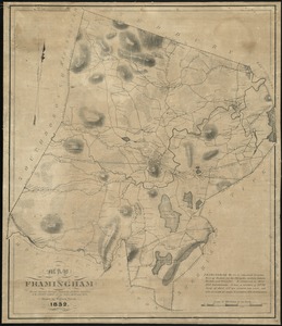
Map of Framingham : from actual surveys taken by Jonas Clayes & Warren Nixon in the years 1830 and 1831
5002.
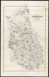
Map of Franklin County, Maine
5003.
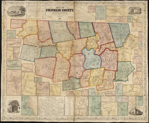
Map of Franklin County, Massachusetts : based upon the trigonometrical survey of the state
5004.
Map of Fresh Pond : showing the division lines of the proprietors extended into the pond and defining their right to the same...
5005.
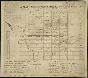
A map of Friends settlement, in the township of Le Ray Jefferson Co
5006.
Map of Gen. Sullivan's march from Easton to the Senaca & Cayuga countries
5007.
Map of Genesee County, New York
5008.
Map of Genessee Lands
5009.
Map of Gloucester, Cape Ann : shewing the roads, harbours, rivers, coves, islands & ledges surrounding that important cape,...
5010.
Map of Great Brewster Island, Boston Harbor : showing the abrasion from 1820 to 1851 inclusive
5011.
A map of great lot no. 2 in the Hardenbergh Patent
5012.
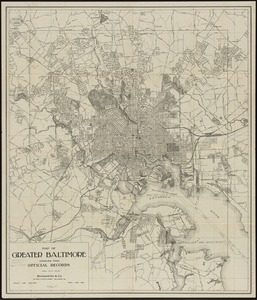
Map of greater Baltimore, compiled from official records : area 91.93 sq. mi
5013.
Map of greater New York : Map of the borough of Manhattan
5014.
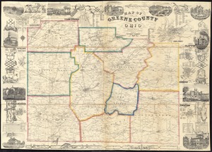
Map of Greene County, Ohio
5015.
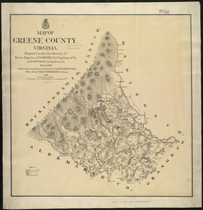
Map of Greene County, Virginia
5016.
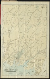
Map of Greenwich, township and borough, Fairfield County, Connecticut
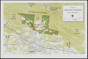
5017.
Map of Greylock center site, Adams, Massachusetts
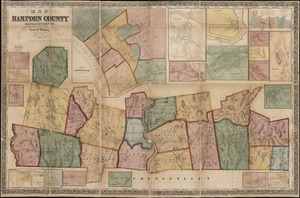
5018.
Map of Hampden County, Massachusetts : based upon the trigonometrical survey of the state
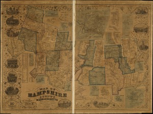
5019.
Map of Hampshire County, Massachusetts
5020.
Map of Hampton Roads and Norfolk Harbor : showing the location of Fortress Monroe & Forts Calhoun & Norfolk : from the latest...
‹ Prev
Next ›
1
2
…
247
248
249
250
251
252
253
254
255
…
669
670