Toggle navigation
LMEC Home
Exhibitions
Georeferencing
Tools for Teachers
Collections
My Favorites
Sign Up / Log In
Search
Search the map portal
Map Collection
Map Collection
Map Sets
Search
Search
Search for
Search In
All Fields
Creator
Title
Subject
Place
Search All Digital Collections
Advanced Search
13518 Results
Filter your Search
Place
North and Central America
10,232
United States
8,367
Massachusetts
2,778
Suffolk (county)
1,675
Boston
1,631
Europe
1,386
Canada
949
New York
640
more
Place
»
Topic
Boston (Mass.)--Maps
746
City planning--Massachusetts--Boston--Maps
418
United States--History--Revolution, 1775-1783--Maps
329
United States--Maps
321
Real property--Massachusetts--Boston--Maps
254
Urban renewal--Massachusetts--Boston--Maps
254
Massachusetts--Maps
230
Insurance surveys
197
more
Topic
»
Date
Date range begin
–
Date range end
Current results range from
1482
to
2023
View distribution
Creator
United States. Hydrographic Office
596
Boston Redevelopment Authority
404
Des Barres, Joseph F. W. (Joseph Frederick Wallet), 1722-1824
247
Royal United Services Institute for Defence and Security Studies
160
Jefferys, Thomas, -1771
154
George, III, King of Great Britain, 1738-1820
152
George, IV, King of Great Britain, 1762-1830
151
O.H. Bailey & Co
148
more
Creator
»
Format
Maps/Atlases
13,337
Manuscripts
985
Prints
102
Books
49
Drawings/Illustrations
44
Photographs
15
Objects/Artifacts
13
Documents
7
more
Format
»
Georeferenced
Yes
979
No
12,539
Collection
Norman B. Leventhal Map & Education Center Collection
9,022
American Revolutionary War-Era Maps
3,305
Boston and New England Maps
2,900
Urban Maps
2,425
Maritime Charts and Atlases
1,167
William L. Clements Library Collection
910
Library of Congress Collection
618
Boston Redevelopment Authority Collection
475
more
Collection
»
Available to use
No known restrictions
10,085
Creative Commons license
1,677
Search Constraints
Sort by relevance
relevance
title
date (asc)
date (desc)
Number of results to display per page
20 per page
10
per page
20
per page
50
per page
100
per page
View results as:
grid view
map view
Search Results
5601.
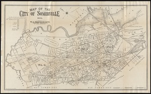
Map of the city of Somerville 1895
5602.
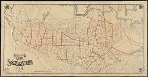
Map of the city of Somerville, 1907
5603.
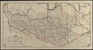
Map of the city of Somerville 1927
5604.
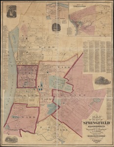
Map of the city of Springfield Massachusetts
5605.
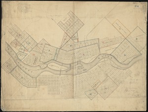
Map of the city of St. Anthony ; map of Minneapolis ; map of St. Anthony
5606.
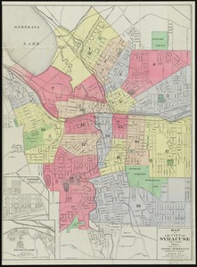
Map of the City of Syracuse, New York
5607.
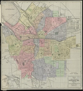
Map of the City of Syracuse, New York
5608.
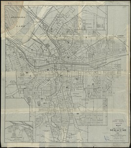
Map of the City of Syracuse, New York
5609.
Map of the city of Tacoma & vicinity, Washington
5610.
Map of the city of Washington
5611.
Map of the city of Washington in the District of Columbia shewing the architectvre and history from the most ancient times down...
5612.
Map of the city of Wheeling, West Virginia
5613.
Map of the city of Worcester
5614.
Map of the city of Worcester, Mass.
5615.
Map of the city of Worcester, Mass
5616.
Map of the Clinton Line Railroad and its connections
5617.
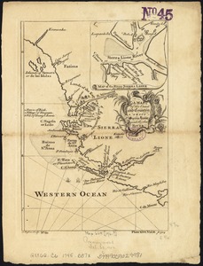
A map of the coast and country about Sierra Lione and Sherbro River
5618.
Map of the coast and islands between Cape Roxo and the Isle of Tassagan
5619.
Map of the coast of Cape Breton from Fort William to Louisbourg
5620.
[Map of the coast of Florida from Fort William to Musketae River] [north sheet]
‹ Prev
Next ›
1
2
…
277
278
279
280
281
282
283
284
285
…
675
676

![[Map of the coast of Florida from Fort William to Musketae River] [north sheet]](https://bpldcassets.blob.core.windows.net/derivatives/images/commonwealth:hx11z4742/image_thumbnail_300.jpg)