Toggle navigation
LMEC Home
Exhibitions
Georeferencing
Tools for Teachers
Collections
My Favorites
Sign Up / Log In
Search
Search the map portal
Map Collection
Map Collection
Map Sets
Search
Search
Search for
Search In
All Fields
Creator
Title
Subject
Place
Search All Digital Collections
Advanced Search
13676 Results
Filter your Search
Place
North and Central America
10,342
United States
8,473
Massachusetts
2,788
Suffolk (county)
1,677
Boston
1,633
Europe
1,413
Canada
950
New York
649
more
Place
»
Topic
Boston (Mass.)--Maps
747
City planning--Massachusetts--Boston--Maps
418
United States--History--Revolution, 1775-1783--Maps
329
United States--Maps
322
Real property--Massachusetts--Boston--Maps
254
Urban renewal--Massachusetts--Boston--Maps
254
Massachusetts--Maps
231
Insurance surveys
197
more
Topic
»
Date
Date range begin
–
Date range end
Current results range from
1482
to
2023
View distribution
Creator
United States. Hydrographic Office
597
Boston Redevelopment Authority
404
Des Barres, Joseph F. W. (Joseph Frederick Wallet), 1722-1824
247
Royal United Services Institute for Defence and Security Studies
160
Jefferys, Thomas, -1771
154
George, III, King of Great Britain, 1738-1820
152
George, IV, King of Great Britain, 1762-1830
151
O.H. Bailey & Co
148
more
Creator
»
Format
Maps/Atlases
13,495
Manuscripts
985
Prints
102
Books
49
Drawings/Illustrations
44
Photographs
15
Objects/Artifacts
13
Documents
7
more
Format
»
Georeferenced
Yes
979
No
12,697
Collection
Norman B. Leventhal Map & Education Center Collection
9,093
American Revolutionary War-Era Maps
3,305
Boston and New England Maps
2,914
Urban Maps
2,469
Maritime Charts and Atlases
1,169
William L. Clements Library Collection
910
Library of Congress Collection
618
Boston Redevelopment Authority Collection
475
more
Collection
»
Available to use
No known restrictions
10,242
Creative Commons license
1,678
Search Constraints
Sort by relevance
relevance
title
date (asc)
date (desc)
Number of results to display per page
20 per page
10
per page
20
per page
50
per page
100
per page
View results as:
grid view
map view
Search Results
5281.
A map of Massachusetts, showing the congressional districts, as proposed by the Senate of 1852
5282.
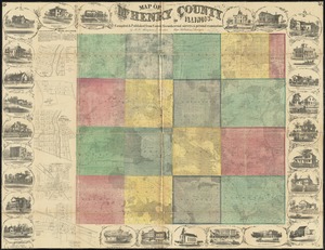
Map of McHenry County, Illinois
5283.
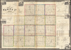
Map of Medina Co., Ohio
5284.
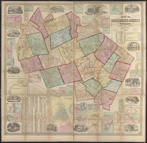
Map of Merrimack County, New Hampshire
5285.
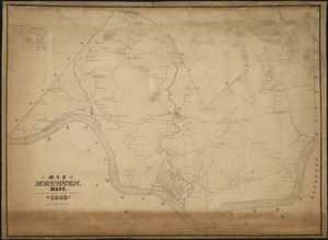
A Map of Methuen, Mass
5286.
Map of Mexico, constructed from all available materials and corrected to 1862 = H. Kiepert's karte von Mexico, überdruck aus...
5287.
Map of Middlesex County, Mass : copied from a map belonging to the state, with various additions and alterations, by order of...
5288.
Map of Middlesex County, Massachusetts : based upon the trigonometrical survey of the state
5289.
Map of Milford : town of Milford Worcester Co. Mass : from actual surveys and records
5290.
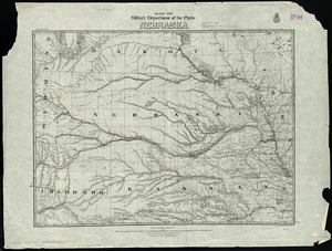
Map of military Department of the Platte, Nebraska
5291.
Map of military lots, tracts, patents, etc. in western Allegany and Garrett Counties, Maryland
5292.
Map of military reconnaissance from Fort Taylor to the Coeur d'Alene mission, Washington Territory
5293.
Map of military road from Fort Walla Walla on the Columbia to Fort Benton on the Missouri
5294.
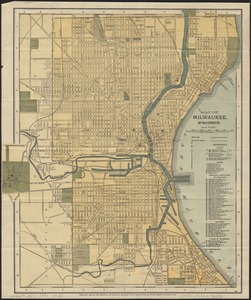
Map of Milwaukee, Wisconsin
5295.
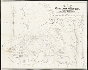
Map of mining lands at Newbury, near Newburyport, Essex County, Massachusetts
5296.
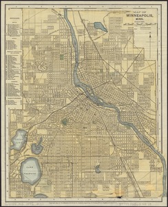
Map of Minneapolis, Minn
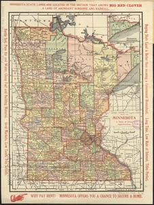
5297.
Map of Minnesota : a state of great opportunities
5298.
Map of Missouri River and vicinity from Saint Charles, Missouri, to Mandan villages of North Dakota : used by Meriwether Lewis...
5299.
Map of Mobile Bay
5300.
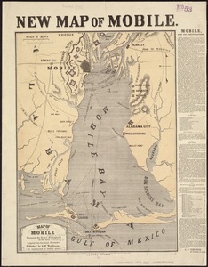
Map of Mobile showing the Rebel stronghold in the Gulf
‹ Prev
Next ›
1
2
…
261
262
263
264
265
266
267
268
269
…
683
684