Toggle navigation
LMEC Home
Exhibitions
Georeferencing
Tools for Teachers
Collections
My Favorites
Sign Up / Log In
Search
Search the map portal
Map Collection
Map Collection
Map Sets
Search
Search
Search for
Search In
All Fields
Creator
Title
Subject
Place
Search All Digital Collections
Advanced Search
2888 Results
My Search
Start Over
atlas
Remove constraint atlas
Filter your Search
Place
North and Central America
1,673
United States
1,009
Europe
470
Massachusetts
359
Canada
271
South America
193
Asia
192
Suffolk (county)
165
more
Place
»
Topic
Landowners--Massachusetts--Boston--Maps
115
Real property--Massachusetts--Boston--Maps
106
United States--Maps
87
Boston (Mass.)--Maps
64
United States--History--French and Indian War, 1754-1763--Maps
63
Saint Lawrence River--Maps
41
Nautical charts--Early works to 1800
39
North America--Maps--Early works to 1800
36
more
Topic
»
Date
Date range begin
–
Date range end
Current results range from
1482
to
2023
View distribution
Creator
United States. Hydrographic Office
584
Des Barres, Joseph F. W. (Joseph Frederick Wallet), 1722-1824
118
Ptolemy, 2nd cent
100
Bromley, George Washington
99
Bromley, Walter Scott
97
G.W. Bromley & Co.
75
Carey, Mathew, 1760-1839
74
Paullin, Charles Oscar, 1868 or 1869-1944
70
more
Creator
»
Format
Maps/Atlases
2,872
Manuscripts
58
Books
37
Prints
8
Documents
5
Drawings/Illustrations
1
Georeferenced
Yes
142
No
2,746
Collection
Norman B. Leventhal Map & Education Center Collection
2,431
Maritime Charts and Atlases
1,169
American Revolutionary War-Era Maps
504
Boston and New England Maps
386
Urban Maps
271
Massachusetts Real Estate Atlases
144
William L. Clements Library Collection
92
Mapping Boston Collection
61
more
Collection
»
Available to use
No known restrictions
2,337
Creative Commons license
158
Search Constraints
Sort by relevance
relevance
title
date (asc)
date (desc)
Number of results to display per page
20 per page
10
per page
20
per page
50
per page
100
per page
View results as:
grid view
map view
Search Results
2481.
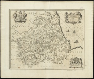
Episcopatus Dunelmensis vulgo The Bishoprike of Durham
2482.
Fort Halifax and the Kennebec River : Québec July 25th, 1761
2483.
Gallia vetus : ad Iul Caesaris commentaria ex conatibus geographicis
2484.
Geological and topographical map of Crows Nest coal-fields, East Kootenay District, B.C. ; Geological sketch map of part of the...
2485.
Greece with part of Anatolia = La Graecia con parte della Natolia
2486.
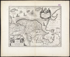
Groninga Dominium
2487.
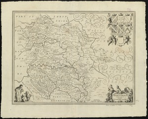
Herefordia comitatus vernacule Hereford Shire
2488.
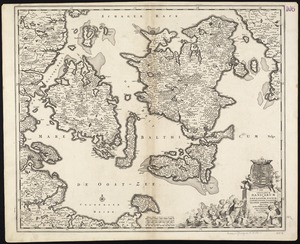
Insularum Danicarum ut Zee-landiae, Fioniae, Langelandiae, Lalandiae, Falstriae, Fembriae, Monae aliarumque in Mari Balthico...
2489.
Leicestrensis comitatus cum Rutlandiae : vulgo Leicester & Rutland Shire
2490.
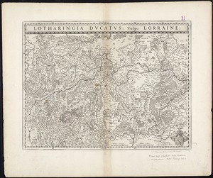
Lotharingia Ducatus, vulgo Lorraine
2491.
A map of Pennsylvania exhibiting not only the improved parts of that Province, but also its extensive frontiers : laid down...
2492.
A map of the United States of N. America
2493.
A mapp of ye county of Essex : with its hundreds
2494.
Middelsexiae cum Hertfordiae comitatu : Midlesex & Hertford Shire
2495.
A new chart of the vast Atlantic or Western Ocean including the sea coast of Europe, Africa, America, and the West India...
2496.
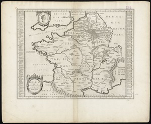
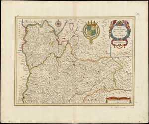
Nova et accurata descriptio Delphinatus vulgo Dauphiné
2497.
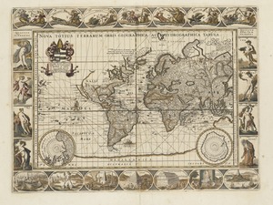
Nova totius terrarum orbis geographica ac hydrographica tabula
2498.
Novissima et accuratissima archiepiscopatus et electoratus Coloniensis ducatuum Iuliacensis et Montensis et Meursiae comitatus...
2499.
The Parish of Omachis
2500.
Reipublicae Genuensis et Ducatus Mediolanensis Parmensis et Montisferrati novissima descriptio
‹ Prev
Next ›
1
2
…
121
122
123
124
125
126
127
128
129
…
144
145