Toggle navigation
LMEC Home
Exhibitions
Georeferencing
Tools for Teachers
Collections
My Favorites
Sign Up / Log In
Search
Search the map portal
Map Collection
Map Collection
Map Sets
Search
Search
Search for
Search In
All Fields
Creator
Title
Subject
Place
Search All Digital Collections
Advanced Search
13680 Results
Filter your Search
Place
North and Central America
10,344
United States
8,475
Massachusetts
2,789
Suffolk (county)
1,677
Boston
1,633
Europe
1,415
Canada
950
New York
649
more
Place
»
Topic
Boston (Mass.)--Maps
747
City planning--Massachusetts--Boston--Maps
418
United States--History--Revolution, 1775-1783--Maps
329
United States--Maps
322
Real property--Massachusetts--Boston--Maps
254
Urban renewal--Massachusetts--Boston--Maps
254
Massachusetts--Maps
231
Insurance surveys
197
more
Topic
»
Date
Date range begin
–
Date range end
Current results range from
1482
to
2023
View distribution
Creator
United States. Hydrographic Office
597
Boston Redevelopment Authority
404
Des Barres, Joseph F. W. (Joseph Frederick Wallet), 1722-1824
247
Royal United Services Institute for Defence and Security Studies
160
Jefferys, Thomas, -1771
154
George, III, King of Great Britain, 1738-1820
152
George, IV, King of Great Britain, 1762-1830
151
O.H. Bailey & Co
148
more
Creator
»
Format
Maps/Atlases
13,499
Manuscripts
985
Prints
102
Books
49
Drawings/Illustrations
44
Photographs
15
Objects/Artifacts
13
Documents
7
more
Format
»
Georeferenced
Yes
979
No
12,701
Collection
Norman B. Leventhal Map & Education Center Collection
9,096
American Revolutionary War-Era Maps
3,305
Boston and New England Maps
2,915
Urban Maps
2,471
Maritime Charts and Atlases
1,169
William L. Clements Library Collection
910
Library of Congress Collection
618
Boston Redevelopment Authority Collection
475
more
Collection
»
Available to use
No known restrictions
10,246
Creative Commons license
1,678
Search Constraints
Sort by relevance
relevance
title
date (asc)
date (desc)
Number of results to display per page
20 per page
10
per page
20
per page
50
per page
100
per page
View results as:
grid view
map view
Search Results
1501.
Caerte van de voornaemste reysen ende ontdeckingen door de Hollanders gedaen, alsook vande landen, plaetsen ende factoriën in...
1502.
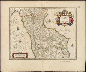
La Calabria citeriore
1503.
Calabria citra olim magna Graecia
1504.
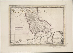
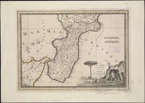
La Calabria ulteriore
1505.
Calabria ultra olim altera magnae Graeciae pars
1506.
Caldera Bay, west end of the island of Mindanao, Sooloo Sea
1507.
Calvert's map of the lake region in New Hampshire, U.S.A.
1508.
Camarines Sur : (western part)
1509.
Cambriae typus
1510.
Cambridge City, Ind : 1871
1511.
Cambridge to Prospect Hill
1512.
[Cambridge with Washington's headquarters]
1513.
Camp at Framingham : First Brigade Mass. Vol. Militia June 9th to 13th 1885
1514.
Camp at Framingham : Second Brigade Mass. Vol. Militia, July 21st to 25th 1885
1515.
Camp Wetmore, R.I. brigade militia, July 7th to 11th, 1885, Oakland Beach
1516.
Campagna di Roma : olim Latium : patrimonio di S. Pietro : et Sabina
1517.
La Campagna di Roma il Patrimonio di S. Pietro e la Sabina
1518.
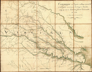
Campagne en Virginie du Major Général M'is de LaFayette : ou se trouvent les camps et marches, ainsy que ceux du Lieutenant...
1519.
Campaign maps : Army of the Potomac : Map no. 3. White House to Harrison's Landing
1520.
Campaign maps : Army of the Potomac : Map no. 2. Williamsburg to White House
‹ Prev
Next ›
1
2
…
72
73
74
75
76
77
78
79
80
…
683
684


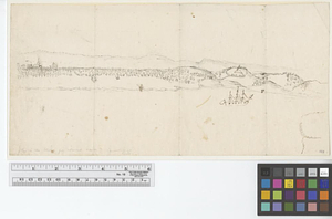
![[Cambridge with Washington's headquarters]](https://bpldcassets.blob.core.windows.net/derivatives/images/commonwealth:dz010v63x/image_thumbnail_300.jpg)