Toggle navigation
LMEC Home
Exhibitions
Georeferencing
Tools for Teachers
Collections
My Favorites
Sign Up / Log In
Search
Search the map portal
Map Collection
Map Collection
Map Sets
Search
Search
Search for
Search In
All Fields
Creator
Title
Subject
Place
Search All Digital Collections
Advanced Search
13680 Results
Filter your Search
Place
North and Central America
10,344
United States
8,475
Massachusetts
2,789
Suffolk (county)
1,677
Boston
1,633
Europe
1,415
Canada
950
New York
649
more
Place
»
Topic
Boston (Mass.)--Maps
747
City planning--Massachusetts--Boston--Maps
418
United States--History--Revolution, 1775-1783--Maps
329
United States--Maps
322
Real property--Massachusetts--Boston--Maps
254
Urban renewal--Massachusetts--Boston--Maps
254
Massachusetts--Maps
231
Insurance surveys
197
more
Topic
»
Date
Date range begin
–
Date range end
Current results range from
1482
to
2023
View distribution
Creator
United States. Hydrographic Office
597
Boston Redevelopment Authority
404
Des Barres, Joseph F. W. (Joseph Frederick Wallet), 1722-1824
247
Royal United Services Institute for Defence and Security Studies
160
Jefferys, Thomas, -1771
154
George, III, King of Great Britain, 1738-1820
152
George, IV, King of Great Britain, 1762-1830
151
O.H. Bailey & Co
148
more
Creator
»
Format
Maps/Atlases
13,499
Manuscripts
985
Prints
102
Books
49
Drawings/Illustrations
44
Photographs
15
Objects/Artifacts
13
Documents
7
more
Format
»
Georeferenced
Yes
979
No
12,701
Collection
Norman B. Leventhal Map & Education Center Collection
9,096
American Revolutionary War-Era Maps
3,305
Boston and New England Maps
2,915
Urban Maps
2,471
Maritime Charts and Atlases
1,169
William L. Clements Library Collection
910
Library of Congress Collection
618
Boston Redevelopment Authority Collection
475
more
Collection
»
Available to use
No known restrictions
10,246
Creative Commons license
1,678
Search Constraints
Sort by relevance
relevance
title
date (asc)
date (desc)
Number of results to display per page
20 per page
10
per page
20
per page
50
per page
100
per page
View results as:
grid view
map view
Search Results
12881.
Turners Falls, Mass : 1877
12882.
The turnings of the River Forth with ye adjacent County of Clackmanan & part of Stirling shire
12883.
Turquie d'Europe
12884.
Twentieth century Boston
12885.
Twenty years of change on the Massachusetts coastline : maps and statistics, 1951-1971
12886.
Two miles around the pendulum station on Hoosac Mountain near central shaft of tunnel, Massachusetts, 1874
12887.
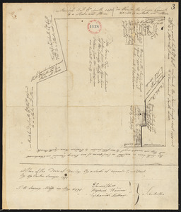
Two plans of Amherst, surveyor's name not given, dated 1794-5.
12888.
Two plans of Amherst, surveyor's name not given, dated 1794-5.
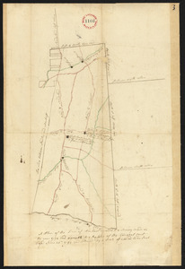
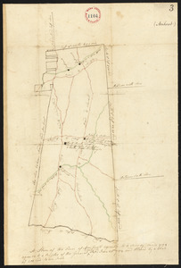
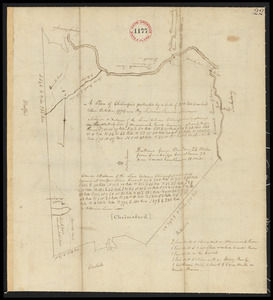
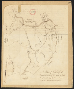
12889.
Two plans of Chelmsford made by Fred French, dated November, 1794.
12890.
Two plans of Chelmsford made by Fred French, dated November, 1794.
12891.
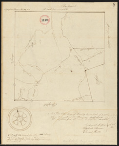
Two plans of Hawley, surveyor's name not given, dated May, 1795.
12892.
Two plans of Hawley, surveyor's name not given, dated May, 1795.
12893.
The two routes surveyed for the National Road from Springfield to Richmond, 1835 : reduced from the original survey of Captain...
12894.
A two-way street between the Americas
12895.
Tybee Island
12896.
A type-ology of population in Massachusetts
12897.
Typo de la carta cosmographica de Gaspar Vopellio Medeburgense
12898.
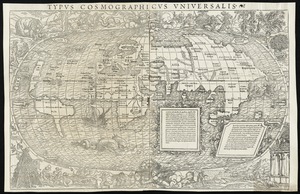
Typus cosmographicus uniuersalis
12899.
Typus cosmographicus uniuersalis
12900.
Typus Haffniae regni Daniae metropolis et sedis regiae ut et obsidii quo a S.R. Maj. Sueciae anno 1658 premebatur
‹ Prev
Next ›
1
2
…
641
642
643
644
645
646
647
648
649
…
683
684