Toggle navigation
LMEC Home
Exhibitions
Georeferencing
Tools for Teachers
Collections
My Favorites
Sign Up / Log In
Search
Search the map portal
Map Collection
Map Collection
Map Sets
Search
Search
Search for
Search In
All Fields
Creator
Title
Subject
Place
Search All Digital Collections
Advanced Search
13440 Results
Filter your Search
Place
North and Central America
10,165
United States
8,303
Massachusetts
2,740
Suffolk (county)
1,667
Boston
1,623
Europe
1,386
Canada
949
New York
640
more
Place
»
Topic
Boston (Mass.)--Maps
742
City planning--Massachusetts--Boston--Maps
418
United States--History--Revolution, 1775-1783--Maps
329
United States--Maps
315
Urban renewal--Massachusetts--Boston--Maps
254
Real property--Massachusetts--Boston--Maps
252
Massachusetts--Maps
228
Insurance surveys
197
more
Topic
»
Date
Date range begin
–
Date range end
Current results range from
1482
to
2023
View distribution
Creator
United States. Hydrographic Office
595
Boston Redevelopment Authority
403
Des Barres, Joseph F. W. (Joseph Frederick Wallet), 1722-1824
247
Royal United Services Institute for Defence and Security Studies
160
Jefferys, Thomas, -1771
154
George, III, King of Great Britain, 1738-1820
152
George, IV, King of Great Britain, 1762-1830
151
O.H. Bailey & Co
148
more
Creator
»
Format
Maps/Atlases
13,259
Manuscripts
985
Prints
102
Books
49
Drawings/Illustrations
44
Photographs
15
Objects/Artifacts
13
Documents
7
more
Format
»
Georeferenced
Yes
979
No
12,461
Collection
Norman B. Leventhal Map & Education Center Collection
8,946
American Revolutionary War-Era Maps
3,305
Boston and New England Maps
2,857
Urban Maps
2,402
Maritime Charts and Atlases
1,153
William L. Clements Library Collection
910
Library of Congress Collection
618
Boston Redevelopment Authority Collection
475
more
Collection
»
Available to use
No known restrictions
10,007
Creative Commons license
1,677
Search Constraints
Sort by relevance
relevance
title
date (asc)
date (desc)
Number of results to display per page
20 per page
10
per page
20
per page
50
per page
100
per page
View results as:
grid view
map view
Search Results
2541.
A compleat map of North-Carolina from an actual survey
2542.
A compleat plan of part of the province of Pennsylvania East and West Jersey shewing the transactions of the royal army under...
2543.
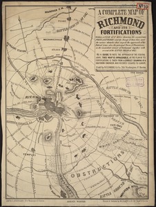
A complete map of Richmond and its fortifications within a circle of 12 miles showing the numerous forts, batteries and the...
2544.
Complete map of the rail roads and water courses in the United States & Canada
2545.
Complete map of Vermont showing highways & natural features with an index of all cities, villages, post-offices and railroad...
2546.
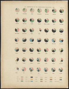
Composition of the foreign-born population : 1890
2547.
A comprehensive atlas geographical, historical & commercial [title page]
2548.
Compromise of 1850, September 6, 1850, vote on passage of Texas-New Mexico provisions
2549.
Le comté de Bourgogne, dit autrement Franche-comté conquise par le Roy, en moins de 15 jours de temps, dans le mois de...
2550.
Conceptual plan
2551.
Conceptual plan
2552.
Concession des Chaoüachas appartenante cy devant a Mgr. le duc de Belleisle et associez
2553.
Concord Junction, Mass : 1893
2554.
Confluence of the James River, York River, and Chesapeake Bay
2555.
Connecticut
2556.
Connecticut
2557.
Connecticut
2558.
Connecticut
2559.
Connecticut
2560.
Connecticut and parts adjacent
‹ Prev
Next ›
1
2
…
124
125
126
127
128
129
130
131
132
…
671
672


![A comprehensive atlas geographical, historical & commercial [title page]](https://bpldcassets.blob.core.windows.net/derivatives/images/commonwealth:3f463182f/image_thumbnail_300.jpg)