Toggle navigation
LMEC Home
Exhibitions
Georeferencing
Tools for Teachers
Collections
My Favorites
Sign Up / Log In
Search
Search the map portal
Map Collection
Map Collection
Map Sets
Search
Search
Search for
Search In
All Fields
Creator
Title
Subject
Place
Search All Digital Collections
Advanced Search
13680 Results
Filter your Search
Place
North and Central America
10,344
United States
8,475
Massachusetts
2,789
Suffolk (county)
1,677
Boston
1,633
Europe
1,415
Canada
950
New York
649
more
Place
»
Topic
Boston (Mass.)--Maps
747
City planning--Massachusetts--Boston--Maps
418
United States--History--Revolution, 1775-1783--Maps
329
United States--Maps
322
Real property--Massachusetts--Boston--Maps
254
Urban renewal--Massachusetts--Boston--Maps
254
Massachusetts--Maps
231
Insurance surveys
197
more
Topic
»
Date
Date range begin
–
Date range end
Current results range from
1482
to
2023
View distribution
Creator
United States. Hydrographic Office
597
Boston Redevelopment Authority
404
Des Barres, Joseph F. W. (Joseph Frederick Wallet), 1722-1824
247
Royal United Services Institute for Defence and Security Studies
160
Jefferys, Thomas, -1771
154
George, III, King of Great Britain, 1738-1820
152
George, IV, King of Great Britain, 1762-1830
151
O.H. Bailey & Co
148
more
Creator
»
Format
Maps/Atlases
13,499
Manuscripts
985
Prints
102
Books
49
Drawings/Illustrations
44
Photographs
15
Objects/Artifacts
13
Documents
7
more
Format
»
Georeferenced
Yes
979
No
12,701
Collection
Norman B. Leventhal Map & Education Center Collection
9,096
American Revolutionary War-Era Maps
3,305
Boston and New England Maps
2,915
Urban Maps
2,471
Maritime Charts and Atlases
1,169
William L. Clements Library Collection
910
Library of Congress Collection
618
Boston Redevelopment Authority Collection
475
more
Collection
»
Available to use
No known restrictions
10,246
Creative Commons license
1,678
Search Constraints
Sort by relevance
relevance
title
date (asc)
date (desc)
Number of results to display per page
20 per page
10
per page
20
per page
50
per page
100
per page
View results as:
grid view
map view
Search Results
13481.
West Indies, south coast of Jamaica, from Port Royal to Pedro Bluff : from British surveys in 1875-1876 ; republication of...
13482.
West Indies, south east coast of Jamaica, Morant Bay and the coast from Fisherman Bay to Belvidere Point : from a British...
13483.
West Indies, special plans to charts no. 26a & b, Bahama Bank : from British surveys, corrected to 1872
13484.
West Indies, the Grenadines from Carriacou to Battowia : from a British survey in 1861, corrected to 1872
13485.
West Indies, the island of New Providence : from British surveys, corrected to 1872
13486.
West Indies, Virgin Islands, St. Thomas
13487.
West Indies, west coast of Haiti, Port au Prince : from a French survey in 1847 corrected for the latest information, 1886
13488.
West Indies--Bahama Islands, Inagua Island anchorages : from British surveys, corrected to 1873
13489.
West Indies--Caribbean Sea, harbors on the southern shore
13490.
West Island and vicinity, Buzzard's Bay, Mass. : surveyed in 1845 ; copied from the original in archives of the U.S. Coast and...
13491.
West Lebanon, N.H., and White River Junction, Vermont
13492.
West Medford, Massachusetts : 1897
13493.
West Medway, Massachusetts : 1887
13494.
West Morlandia, Lancastria, Cestria, Caernaruan, Denbigh, Flint, Meridionidh, Montgomery, Salpia, cum insulis Mania et Anglesey
13495.
West Morlandia, Lancastria, Cestria, Caernarvan, Denbigh, Flint, Meridionidh, Montgomery, Salpia, cum Insulis Mania et Anglesey...
13496.
West Newton, Massachusetts
13497.
The west part of Barbary containing Fez, Marocco, Algiers and Tunis / : The east part of Barbary containing Tripoli, Barca and...
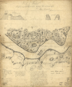
13498.
West Point
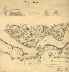
13499.
West Point
13500.
West Point : surveyed a coup d'oeil the 24th October, laid down the 27th October 1783
‹ Prev
Next ›
1
2
…
671
672
673
674
675
676
677
678
679
…
683
684