Toggle navigation
LMEC Home
Exhibitions
Georeferencing
Tools for Teachers
Collections
My Favorites
Sign Up / Log In
Search
Search the map portal
Map Collection
Map Collection
Map Sets
Search
Search
Search for
Search In
All Fields
Creator
Title
Subject
Place
Search All Digital Collections
Advanced Search
13639 Results
Filter your Search
Place
North and Central America
10,305
United States
8,436
Massachusetts
2,784
Suffolk (county)
1,677
Boston
1,633
Europe
1,413
Canada
950
New York
648
more
Place
»
Topic
Boston (Mass.)--Maps
747
City planning--Massachusetts--Boston--Maps
418
United States--History--Revolution, 1775-1783--Maps
329
United States--Maps
321
Real property--Massachusetts--Boston--Maps
254
Urban renewal--Massachusetts--Boston--Maps
254
Massachusetts--Maps
231
Insurance surveys
197
more
Topic
»
Date
Date range begin
–
Date range end
Current results range from
1482
to
2023
View distribution
Creator
United States. Hydrographic Office
597
Boston Redevelopment Authority
404
Des Barres, Joseph F. W. (Joseph Frederick Wallet), 1722-1824
247
Royal United Services Institute for Defence and Security Studies
160
Jefferys, Thomas, -1771
154
George, III, King of Great Britain, 1738-1820
152
George, IV, King of Great Britain, 1762-1830
151
O.H. Bailey & Co
148
more
Creator
»
Format
Maps/Atlases
13,458
Manuscripts
985
Prints
102
Books
49
Drawings/Illustrations
44
Photographs
15
Objects/Artifacts
13
Documents
7
more
Format
»
Georeferenced
Yes
979
No
12,660
Collection
Norman B. Leventhal Map & Education Center Collection
9,088
American Revolutionary War-Era Maps
3,305
Boston and New England Maps
2,907
Urban Maps
2,465
Maritime Charts and Atlases
1,169
William L. Clements Library Collection
910
Library of Congress Collection
618
Boston Redevelopment Authority Collection
475
more
Collection
»
Available to use
No known restrictions
10,206
Creative Commons license
1,677
Search Constraints
Sort by relevance
relevance
title
date (asc)
date (desc)
Number of results to display per page
20 per page
10
per page
20
per page
50
per page
100
per page
View results as:
grid view
map view
Search Results
13041.
View from the blockhouse : Dorchester Neck
13042.
A view from the south eastward of Halifax Harbor : Appearance of the shore, (at three miles off,) four or five leagues to the...
13043.
A view from the south eastward of Halifax Harbor ; Appearance of the shore at three miles off four or five leagues to the...
13044.
A view from the south eastward of Halifax Harbor ; Appearance of the shore at three miles off four or five leagues to the...
13045.
VIEW of a Cottage on the Island MASSACRE near the MOBILLE W. FLORIDA. Oct.r 1764
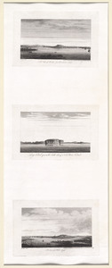
13046.
View of Amherst, Mass
13047.
View of Andover, Massachusetts : 1882
13048.
View of Andover, Massachusetts : 1882
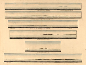
13049.
View of Ansonia, Conn : 1875
13050.
View of Ashland, Mass : 1878
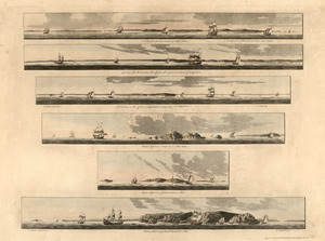
13051.
View of Athol, Mass : 1878
13052.
View of Attleborough, Mass : East Village, 1878
13053.
View of Bethel, Conn
13054.
View of Beverly, Mass
13055.
A view of Boston
13056.
View of Boston freight terminals, the New York, New Haven & Hartford Railroad
13057.
A view of Boston from Dorchester neck : Long Island open on the north side of Nicks Mate Island ; Boston from Willis Creek
13058.
View of Boston, July 4th 1870
13059.
View of Boston, July 4th 1870
13060.
A view of Boston taken on the road to Dorchester
‹ Prev
Next ›
1
2
…
649
650
651
652
653
654
655
656
657
…
681
682