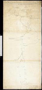
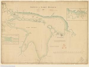
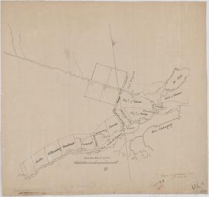
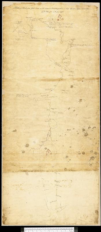
Sketch of a route from Yorktown on Lake Ontario to Penatangasheen on Lake Huron - Upper Canada
This map is also available in American Revolutionary Geographies Online (ARGO), a collections portal especially built for material relating to the American Revolutionary War Era. Visit ARGO to learn more about this item and explore the historical geography of North America in the late eighteenth century.
Item Information
- Title:
- Sketch of a route from Yorktown on Lake Ontario to Penatangasheen on Lake Huron - Upper Canada
- Cartographer:
- Pilkington, Robert, 1765-1834
- Name on Item:
-
by Lt. Pilkington in the year 1793
- Date:
-
1793
- Format:
-
Maps/Atlases
- Genre:
-
Manuscript maps
- Location:
- Library and Archives Canada
- Collection (local):
-
Library and Archives Canada Collection
- Subjects:
-
Huron, Lake (Mich. and Ont.)--Maps
Simcoe, Lake (Ont.)--Maps
Ontario--Maps
Toronto (Ont.)--Maps
Penetanguishene (Ont.)--Maps
- Places:
-
CanadaSimcoe Lake
CanadaOntario (province)
CanadaToronto
CanadaPenetanguishene
Huron, Lake
- Extent:
- 1 manuscript map : hand color ; 136 x 59 cm
- Terms of Use:
-
Copyright expired. Contact host institution to download image.
Contact host institution for more information.
- Place of origin:
-
[Toronto]
- Language:
-
English
- Catalog Record:
-
Catalog record
- Notes:
-
Board of Ordnance Stamp.
- Identifier:
-
n0011273k
- Barcode:
-
4169984