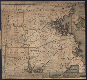
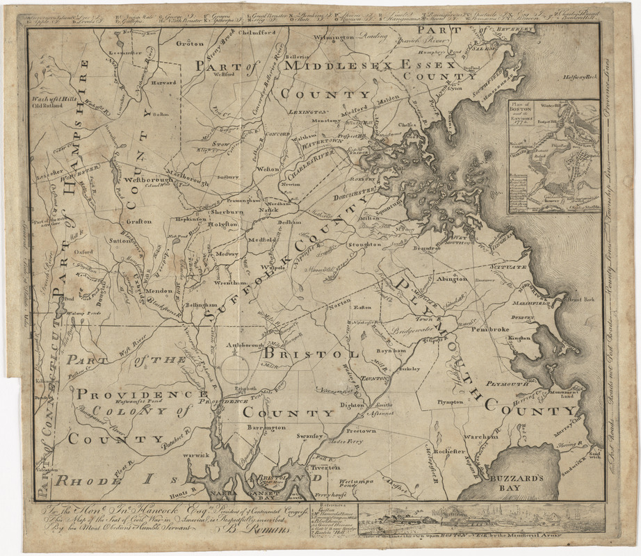
To the Hone. Jno. Hancock, Esqre. president of ye Continental Congress, this map of the seat of civil war in America, is respectfully inscribed by his most obedient humble servant
This map is also available in American Revolutionary Geographies Online (ARGO), a collections portal especially built for material relating to the American Revolutionary War Era. Visit ARGO to learn more about this item and explore the historical geography of North America in the late eighteenth century.
Item Information
- Title:
- To the Hone. Jno. Hancock, Esqre. president of ye Continental Congress, this map of the seat of civil war in America, is respectfully inscribed by his most obedient humble servant
- Title (alt.):
-
This map of the seat of civil war in America
- Creator:
- Romans, Bernard, 1741?-approximately 1784
- Name on Item:
-
B. Romans.
- Date:
-
[1775]
- Format:
-
Maps/Atlases
- Location:
- George Washington's Mount Vernon
- Collection (local):
-
Richard H. Brown Revolutionary War Map Collection at Mount Vernon
- Subjects:
-
Massachusetts--Maps--Early works to 1800
Massachusetts--History--Revolution, 1775-1783--Maps--Early works to 1800
Massachusetts--Administrative and political divisions--Maps--Early works to 1800
Boston (Mass.)--Maps
Hancock, John, 1737-1793
- Places:
-
Suffolk (county)Boston
- Extent:
- 1 map ; 37 x 44 cm.
- Terms of Use:
-
No known copyright restrictions.
This work is licensed for use under a Creative Commons Attribution Non-Commercial Share Alike License (CC BY-NC-SA).

- Publisher:
-
Philadelphia :
[s.n.]
- Scale:
-
Scale [ca. 1:316,000]
- Language:
-
English
- Catalog Record:
-
MVLA record
- Notes:
-
Cover eastern Massachusetts, Rhode Island and part of Connecticut.
Relief shown pictorially.
Indexed for points of interest.
Insets with indexes: Plan of Boston and its environs, 1775 -- A view of the lines thrown up on Boston Neck; by the ministerial army.
Second state, with legend symbols in right margin outside the neat line.
- Notes (date):
-
This date is inferred.
- Identifier:
-
06_01_011104