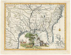
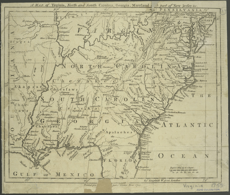
A map of Virginia, North and South Carolina, Georgia, Maryland : with part of New Jersey &c
This map is also available in American Revolutionary Geographies Online (ARGO), a collections portal especially built for material relating to the American Revolutionary War Era. Visit ARGO to learn more about this item and explore the historical geography of North America in the late eighteenth century.
Item Information
- Title:
- A map of Virginia, North and South Carolina, Georgia, Maryland : with part of New Jersey &c
- Title (uniform):
-
London magazine (London, England : 1732-1785)
- Creator:
- Kitchin, Thomas, 1719-1784
- Name on Item:
-
by Tho. Kitchin geogr.
- Date:
-
[1755]
- Format:
-
Maps/Atlases
- Location:
- New York Public Library
- Collection (local):
-
Maps of North America
- Subjects:
-
Southern States--Maps--Early works to 1800
- Places:
-
Southern United States (area)
- Extent:
- 1 map ; 22 x 27 cm.
- Terms of Use:
-
No known copyright restrictions.
This work is licensed for use under a Creative Commons Attribution Non-Commercial Share Alike License (CC BY-NC-SA).

- Publisher:
-
London :
London Magazine
- Scale:
-
Scale ca. 1:6,500,000
- Language:
-
English
- Catalog Record:
-
https://digitalcollections.nypl.org/items/510d47da-f076-a3d9-e040-e00a18064a99
- Notes:
-
Relief shown pictorially.
Prime meridian: London.
From The London magazine. v. 24; July 1755, opp. p. 312.
"Printed for R. Baldwin in Pater Noster Row 1755."
- Notes (date):
-
This date is inferred.
- LCCN:
-
74696217