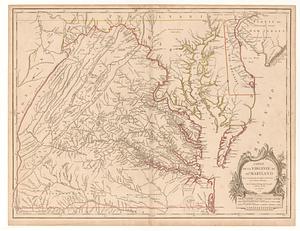
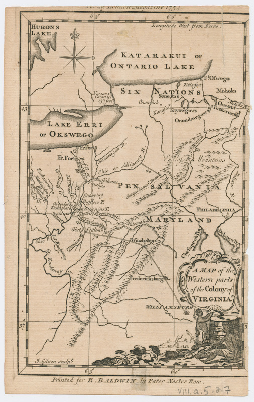
Map of the western parts of the colony of Virginia
This map is also available in American Revolutionary Geographies Online (ARGO), a collections portal especially built for material relating to the American Revolutionary War Era. Visit ARGO to learn more about this item and explore the historical geography of North America in the late eighteenth century.
Item Information
- Title:
- Map of the western parts of the colony of Virginia
- Title (alt.):
-
London magazine
- Contributor:
- Baldwin, Richard, 1724-1770
- Name on Item:
-
J. Gibson sculpt.
- Date:
-
[1754]
- Format:
-
Maps/Atlases
- Location:
- Massachusetts Historical Society
- Collection (local):
-
Massachusetts Historical Society Collection
- Subjects:
-
Virginia--Maps--Early works to 1800
- Places:
-
Virginia
- Extent:
- 1 map ; 18 x 12 cm.
- Terms of Use:
-
No known copyright restrictions.
This work is licensed for use under a Creative Commons Attribution Non-Commercial Share Alike License (CC BY-NC-SA).

- Publisher:
-
[London] :
Printed for R. Baldwin, in Pater Noster Row
- Scale:
-
Scale [ca. 1:6,000,000]
- Language:
-
English
- Catalog Record:
-
http://balthazaar.masshist.org/cgi-bin/Pwebrecon.cgi?DB=local&BBID=188174
- Notes:
-
Relief shown pictorially.
Prime meridian: Ferro.
"For the London magazine 1754."
- Notes (date):
-
This date is inferred.