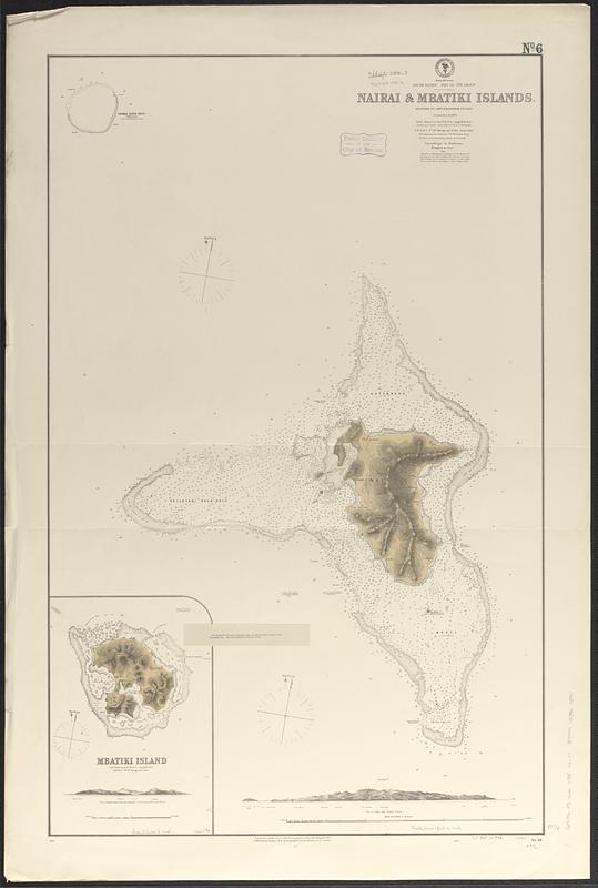
South Pacific, Fiji or Viti Group, Nairai & Mbatiki Islands
Item Information
- Title:
- South Pacific, Fiji or Viti Group, Nairai & Mbatiki Islands
- Issuing body:
- United States. Hydrographic Office
- Name on Item:
-
surveyed by Captn. H.M. Denham, R.N. 1856, corrected to 1872
- Date:
-
1872
- Format:
-
Maps/Atlases
- Genre:
-
Nautical charts
- Location:
-
Boston Public Library
Norman B. Leventhal Map & Education Center - Collection (local):
-
Norman B. Leventhal Map & Education Center Collection
- Subjects:
-
Nairai Island (Fiji)--Maps
Mbatiki Island (Fiji)--Maps
Nautical charts--Fiji--Nairai Island
Nautical charts--Fiji--Mbatiki Island
- Places:
-
FijiLomaiviti (province)Nairai Island (island)
Batiki
- Extent:
- 2 maps on 1 sheet ; 95 x 60 cm
- Terms of Use:
-
No known copyright restrictions.
No known restrictions on use.
- Publisher:
-
Washington, D.C. :
Hydrographic Office
- Scale:
-
Scale approximately 1:38,700
Scale approximately 1:38,700
- Language:
-
English
- Notes:
-
Relief shown by hachures and spot heights. Depths shown by soundings and pictorially.
Includes 2 coastal views.
Notice tipped on: "The longitude on British Admiralty chart no. 2691, of 1879, is about 2 1/4 minutes farther east. (See Hydrographic Notice, 32, IV, 80.)."
- Identifier:
-
06_01_017517
- Call #:
-
G9096.P5 svar .U55 no. 111
- Barcode:
-
39999085960290


