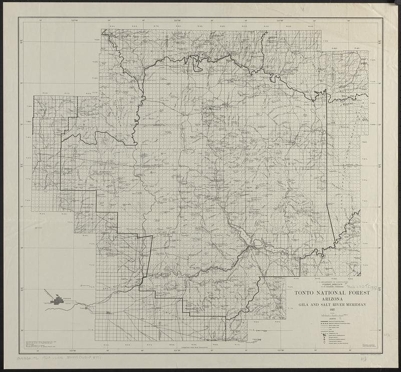
Tonto National Forest, Arizona
Item Information
- Title:
- Tonto National Forest, Arizona
- Publisher:
- United States. Forest Service. Southwestern Region
- Cartographer:
- Davis, L. C.
- Cartographer:
- Landon, F. E.
- Cartographer:
- Johnson, C. G.
- Contributor:
- Geological Survey (U.S.)
- Name on Item:
-
compiled ... by L.C. Davis and F.E. Landon ; revised and traced by C.G. Johnson
- Date:
-
1927
- Format:
-
Maps/Atlases
- Location:
-
Boston Public Library
Norman B. Leventhal Map & Education Center - Collection (local):
-
Norman B. Leventhal Map & Education Center Collection
- Subjects:
-
Tonto National Forest (Ariz.)--Maps
- Places:
-
ArizonaGila (county)Crook National Forest
- Extent:
- 1 map ; 59 x 64 cm.
- Terms of Use:
-
No known copyright restrictions.
No known restrictions on use.
- Publisher:
-
Albuquerque :
U.S. Forest Service
- Edition:
- Comp. 1918, rev. 1927
- Scale:
-
Scale [ca. 1:250,000]
- Language:
-
English
- Notes:
-
Relief shown by hachures and spot heights.
Gila and Salt River meridian.
- Identifier:
-
06_01_018586
- Call #:
-
G4332.T6 1927 .U55
- Barcode:
-
39999065683771


