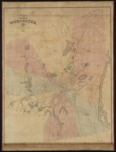
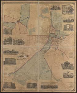
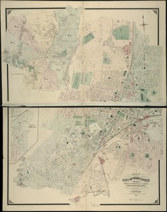
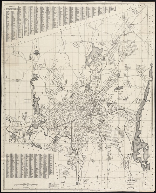
Map of Worcester Mass
Item Information
- Title:
- Map of Worcester Mass
- Creator:
- Drew Allis Co
- Name on Item:
-
A.N. Houghton, del.
- Date:
-
[ca. 1919]
- Format:
-
Maps/Atlases
- Location:
-
Boston Public Library
Norman B. Leventhal Map & Education Center - Collection (local):
-
Norman B. Leventhal Map & Education Center Collection
- Subjects:
-
Worcester (Mass.)--Maps
- Places:
-
MassachusettsWorcester (county)Worcester
- Extent:
- 1 map ; 86 x 70 cm.
- Terms of Use:
-
No known copyright restrictions.
No known restrictions on use.
- Publisher:
-
Worcester [Mass.] :
Drew Allis Co.
- Scale:
-
Scale [ca. 1:15,600].
- Language:
-
English
- Notes:
-
Oriented with north toward the upper right.
Distance from City Hall shown by concentric circles at mile distances.
Shows wards.
- Identifier:
-
06_01_005505
- Call #:
-
G3764.W9 1919 .D7x
- Barcode:
-
39999059014983