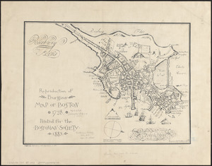
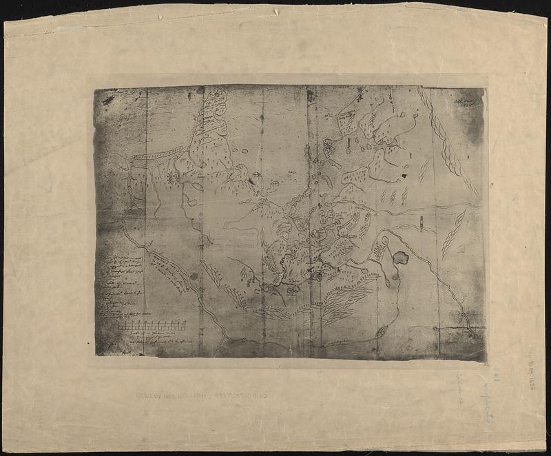
A chart of Massachusetts Bay
Item Information
- Title:
- A chart of Massachusetts Bay
- Cartographer:
- Winthrop, John, 1588-1649
- Date:
-
[1884]
- Format:
-
Maps/Atlases
- Location:
-
Boston Public Library
Norman B. Leventhal Map & Education Center - Collection (local):
-
Norman B. Leventhal Map & Education Center Collection
- Subjects:
-
Boston Bay (Mass.)--Maps--Early works to 1800--Facsimiles
Boston (Mass.)--Maps--Early works to 1800--Facsimiles
- Places:
-
MassachusettsBoston Harbor
- Extent:
- 1 map ; 31 x 44 cm
- Terms of Use:
-
No known copyright restrictions.
No known restrictions on use.
- Scale:
-
Scale not given
- Language:
-
English
- Notes:
-
Facsimile.
Original in the British Museum Add. 5415.g.3.
Boston Public Library copy: photographic reproduction by E.F. Waters.
- Notes (date):
-
This date is inferred.
- Notes (citation):
-
List of maps of Boston, p. 13
- Identifier:
-
06_01_016860
- Call #:
-
G3762.B6 1633 .W5 1884x
- Barcode:
-
39999059009132