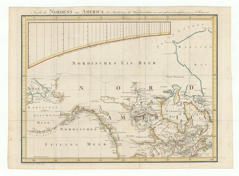
Karte des nordens von America, zur beurtheilung der wahrscheinlichkeit einer north=westlichen durchfahrt
This map is also available in American Revolutionary Geographies Online (ARGO), a collections portal especially built for material relating to the American Revolutionary War Era. Visit ARGO to learn more about this item and explore the historical geography of North America in the late eighteenth century.
Item Information
- Title:
- Karte des nordens von America, zur beurtheilung der wahrscheinlichkeit einer north=westlichen durchfahrt
- Cartographer:
- Forster, Georg, 1754-1794
- Engraver:
- Jäck, C. (Carl)
- Publisher:
- Jäck, C. (Carl)
- Name on Item:
-
gezeichnet von G. Forster ; gestochen von Carl Jäck Berlin
- Date:
-
1791
- Format:
-
Maps/Atlases
- Location:
- MacLean Collection Map Library
- Collection (local):
-
MacLean Collection Map Library
- Subjects:
-
North America--Maps
- Places:
-
North America (area)
- Extent:
- 1 map ; 505 x 652 mm
- Terms of Use:
-
Public Domain/No known restrictions on use. Contact host institution to download image.
Contact host institution for more information.
- Publisher:
-
Berlin :
Jack, Carl
- Language:
-
German
- Identifier:
-
MC_3153
- Call #:
-
3153