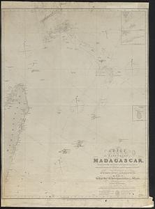
Special plans to chart no. 565, harbors and anchorages on the north coast of Madagascar : from British and French surveys, corrected to 1874
Item Information
- Title:
- Special plans to chart no. 565, harbors and anchorages on the north coast of Madagascar : from British and French surveys, corrected to 1874
- Title (alt.):
-
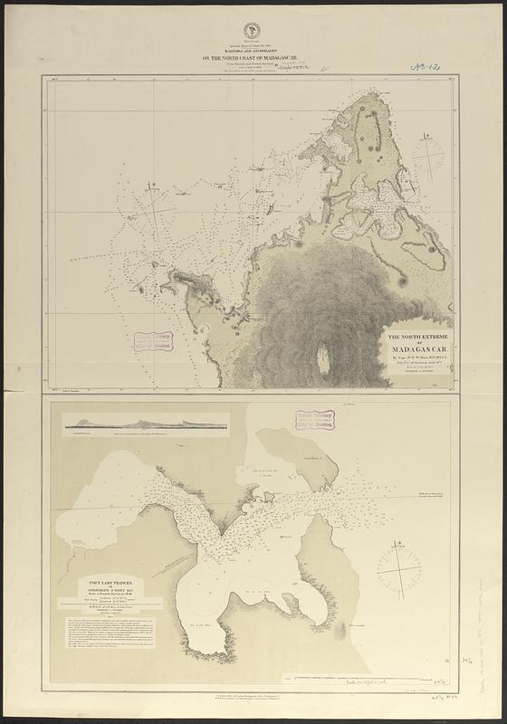
The north extreme of Madagascar
Port Lady Frances, or Ambavarane or Rigny Bay
- Issuing body:
- United States. Hydrographic Office
- Date:
-
1875
- Format:
-
Maps/Atlases
- Genre:
-
Nautical charts
- Location:
-
Boston Public Library
Norman B. Leventhal Map & Education Center - Collection (local):
-
Norman B. Leventhal Map & Education Center Collection
- Subjects:
-
Madagascar--Maps
Coasts--Madagascar--Maps
Nautical charts--Madagascar--Maps
- Places:
-
Madagascar
- Extent:
- 2 maps on 1 sheet ; 87 x 59 cm
- Terms of Use:
-
No known copyright restrictions.
No known restrictions on use.
- Publisher:
-
Washington, D.C. :
Hydrographic Office
- Scale:
-
Scale approximately 1:20,500
Scale approximately 1:190,000
- Language:
-
English
- Table of Contents:
-
The north extreme of Madagascar
Port Lady Frances, or Ambavarane or Rigny Bay
- Notes:
-
Relief shown by hachures. Depths shown by soundings and isolines.
Includes coastal view.
- Identifier:
-
06_01_017694
- Call #:
-
G9096.P5 svar .U55 no. 574
- Barcode:
-
39999085962064