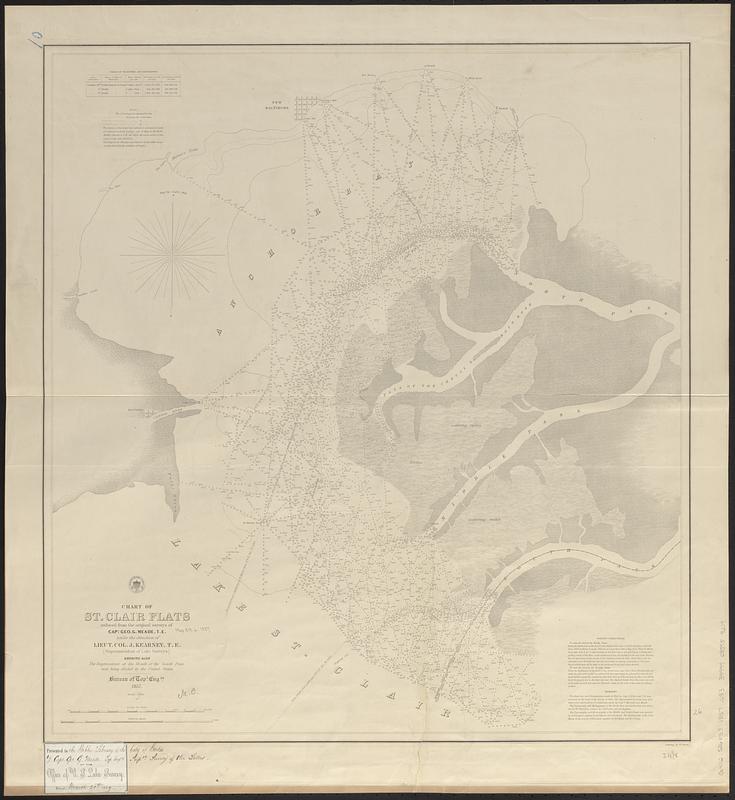
Chart of St. Clair Flats
Item Information
- Title:
- Chart of St. Clair Flats
- Issuing body:
- U.S. Lake Survey
- Surveyor:
- Meade, George Gordon, 1815-1872
- Surveyor:
- Kearney, James, -1862
- Engraver:
- Dougal, William H., 1822-1895
- Engraver:
- Smith, W.
- Publisher:
- United States. Army. Corps of Topographical Engineers
- Name on Item:
-
reduced from the original survey of Capt. Geo. G. Meade, T.E. under the direction of Lieut. Col. J. Kearney, T.E. (Superintendent of Lake Surveys) ; showing also the improvement at the mouth of the south pass now being effected by the United States ; engraved by W.H. Dougal ; lettering by W. Smith
- Date:
-
1857
- Format:
-
Maps/Atlases
- Genre:
-
Nautical charts
- Location:
-
Boston Public Library
Norman B. Leventhal Map & Education Center - Collection (local):
-
Norman B. Leventhal Map & Education Center Collection
- Subjects:
-
Saint Clair Flats (Mich.)--Maps
Anchor Bay (Mich.)--Maps
Nautical charts--Michigan--Saint Clair Flats
Nautical charts--Michigan--Anchor Bay
- Places:
-
MichiganSaint Clair (county)Saint Clair Flats
MichiganAnchor Bay
- Extent:
- 1 map ; 67 x 62 cm
- Terms of Use:
-
No known copyright restrictions.
No known restrictions on use.
- Publisher:
-
[Washington, D.C.] :
Bureau of Topographical Engineers
- Scale:
-
Scale 1:32,000
- Language:
-
English
- Notes:
-
Depths shown by soundings and isolines.
Includes: Table of velocities and discharges -- Note -- Sailing directions -- Remarks.
At head of title: seal with "Survey of the Lakes 1857."
Label pasted in lower left corner: Presented to the Public Library of the City of Boston by Capt. Geo. G. Meade, Top. Engrs. Supdt. Survey of the Lakes.
- Notes (citation):
-
Karpinski, L.C. Maps of Mich., 822
Barnett, L. Mich., 5-3436
- Identifier:
-
06_01_017445
- Call #:
-
G4112.S26P53 1857 .U83
- Barcode:
-
39999085959219


