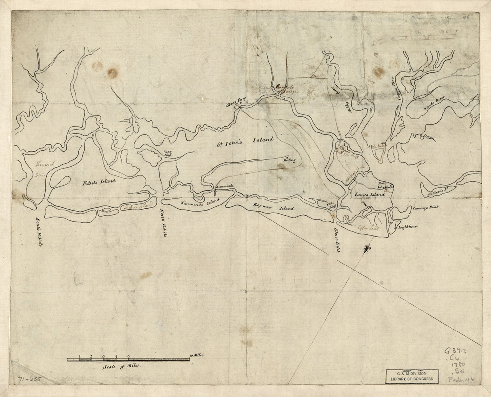
Sketch of the coast from South Edisto to Charles Town, 1st March 1780
This map is also available in American Revolutionary Geographies Online (ARGO), a collections portal especially built for material relating to the American Revolutionary War Era. Visit ARGO to learn more about this item and explore the historical geography of North America in the late eighteenth century.
Item Information
- Title:
- Sketch of the coast from South Edisto to Charles Town, 1st March 1780
- Date:
-
[1780]
- Format:
-
Maps/Atlases
Manuscripts
- Location:
- Library of Congress Geography and Map Division
- Collection (local):
-
Library of Congress Collection
- Subjects:
-
Coasts--South Carolina--Maps--Early works to 1800
Sea Islands--Maps, Manuscript--Early works to 1800
- Places:
-
South Carolina
Sea Islands (area)
- Extent:
- 1 manuscript map on sheet 30 x 38 cm.
- Terms of Use:
-
No known copyright restrictions.
This work is licensed for use under a Creative Commons Attribution Non-Commercial Share Alike License (CC BY-NC-SA).

- Scale:
-
Scale ca. 1:166,000
- Language:
-
English
- Catalog Record:
-
https://lccn.loc.gov/gm71000635
- Notes:
-
Title from verso.
Manuscript, pen-and-ink.
Has watermark.
Annotated with brown ink in a different hand.
On verso: Sketch of the rebel redoubt on Stono River destroyed by Genl. Prevost.
- Notes (date):
-
This date is inferred.
- Notes (citation):
-
LC Maps of North America, 1750-1789, 1552
- Identifier:
-
ar155200


