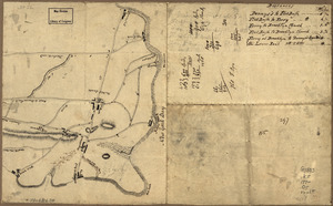
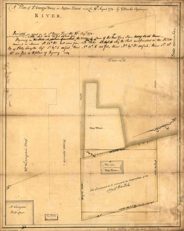
A plan of St. Georges Ferry on Nassau-Island made the 10th August 1774
This map is also available in American Revolutionary Geographies Online (ARGO), a collections portal especially built for material relating to the American Revolutionary War Era. Visit ARGO to learn more about this item and explore the historical geography of North America in the late eighteenth century.
Item Information
- Title:
- A plan of St. Georges Ferry on Nassau-Island made the 10th August 1774
- Title (alt.):
-
St. Georges Ferry
- Creator:
- Bancker, Gerard, 1740-1799
- Name on Item:
-
by G. Bancker, city surveyor
- Date:
-
1774
- Format:
-
Maps/Atlases
Manuscripts
- Location:
- Library of Congress Geography and Map Division
- Collection (local):
-
Library of Congress Collection
- Subjects:
-
Wharves--New York (State)--Kings County--Maps, Manuscript--Early works to 1800
Brooklyn (New York, N.Y.)--Maps, Manuscript--Early works to 1800
Wharves--New York (State)--New York--Maps, Manuscript--Early works to 1800
- Places:
-
New YorkNew YorkBrooklyn (borough)
- Extent:
- 1 manuscript map : hand color, 46 x 36 cm.
- Terms of Use:
-
No known copyright restrictions.
This work is licensed for use under a Creative Commons Attribution Non-Commercial Share Alike License (CC BY-NC-SA).

- Scale:
-
Scale 1:240
- Language:
-
English
- Catalog Record:
-
https://lccn.loc.gov/73691800
- Notes:
-
Title on verso: St. Georges Ferry.
Manuscript, pen-and-ink and watercolor.
Watermark: J. Whatman [and a fleur-de-lis in a cross surmounted by a crown, over the letters GR]
Shows wharf, ferry house, and "Mr. Livingston's wharf" and distilling house.
Includes "Description as agreed on at St. Georges Ferry the 10th Augt. 1774 ... "
- Notes (citation):
-
LC Maps of North America, 1750-1789, 1094
- Identifier:
-
ar109400