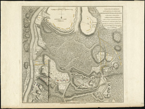
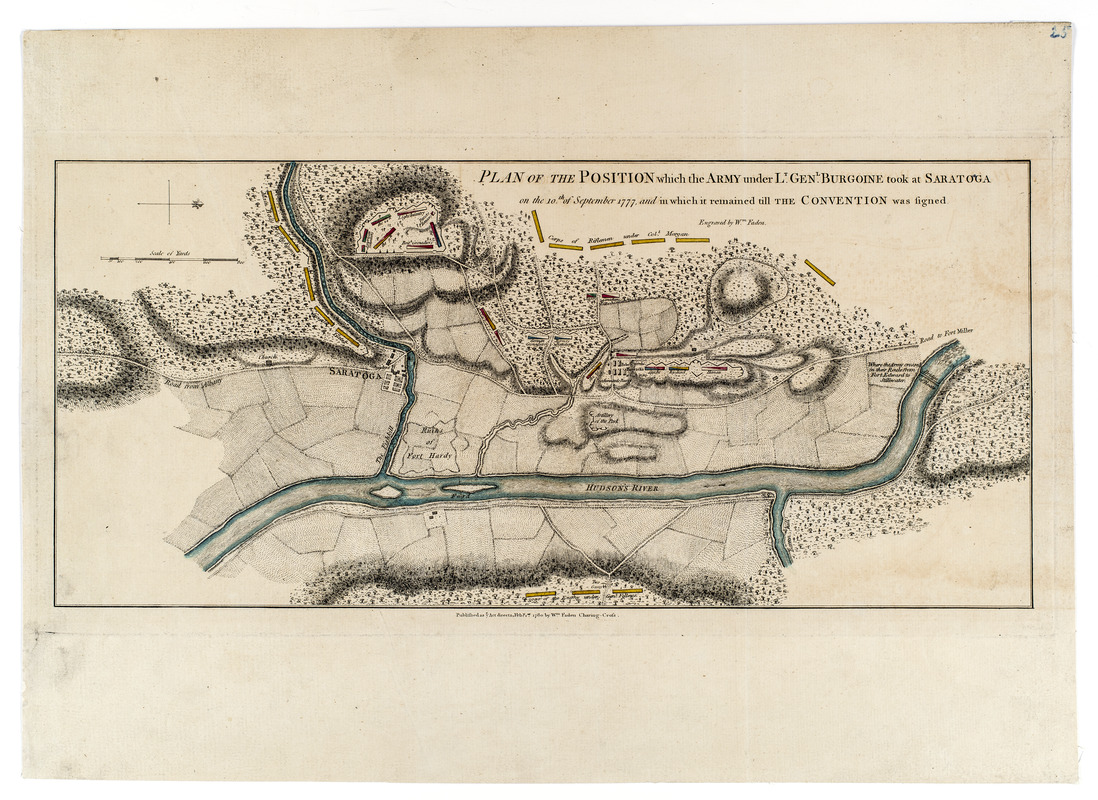
Plan of the position which the army under Lt. Genl. Burgoine took at Saratoga on the 10th of September, 1777, and in which it remained till the Convention was signed
This map is also available in American Revolutionary Geographies Online (ARGO), a collections portal especially built for material relating to the American Revolutionary War Era. Visit ARGO to learn more about this item and explore the historical geography of North America in the late eighteenth century.
Item Information
- Title:
- Plan of the position which the army under Lt. Genl. Burgoine took at Saratoga on the 10th of September, 1777, and in which it remained till the Convention was signed
- Cartographer:
- Faden, William, 1749-1836
- Name on Item:
-
engraved by Wm. Faden
- Date:
-
1780
- Format:
-
Maps/Atlases
- Location:
- New-York Historical Society
- Collection (local):
-
New-York Historical Society Collection
- Subjects:
-
Saratoga Campaign, N.Y., 1777--Maps--Early works to 1800
Saratoga County (N.Y.)--Maps--Early works to 1800
New York (State)--History--Revolution, 1775-1783--Maps--Early works to 1800
United States--History--Revolution, 1775-1783--Campaigns--Maps--Early works to 1800
- Places:
-
Saratoga (county)
- Extent:
- 1 map : hand colored ; 22 x 48 cm on sheet 36 x 50 cm.
- Terms of Use:
-
No known copyright restrictions.
No known restrictions on use.
- Publisher:
-
[London] :
Published as ye Act directs, Feby. 1st. 1780 by Wm. Faden, Charing-Cross
- Scale:
-
Scale [ca. 1:10,800]
- Language:
-
English
- Catalog Record:
-
https://library.nyu.edu/persistent/lcn/nyu_aleph004267370?institution=NYU&persistent
- Notes:
-
Shows deployment of armies; roads, rivers, forests, fields and camps.
Relief shown by hachures and shading.
Oriented with north to the right.
- Identifier:
-
93222d_PlanPositionSaratoga1780_M20_2_49_1
![[Plan of the battles of Saratoga]](https://bpldcassets.blob.core.windows.net/derivatives/images/commonwealth:z603vw07d/image_thumbnail_300.jpg)