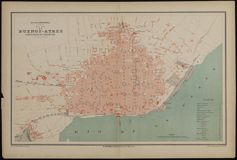
Plan de Buenos-Ayres (Confédération Argentine)
Item Information
- Title:
- Plan de Buenos-Ayres (Confédération Argentine)
- Engraver:
- Hausermann, R., active 1875-1915
- Publisher:
- Fayard, Arthème, 1836-1895
- Printer:
- Cochet et Roulié
- Name on Item:
-
gravé par R. Hausermann
- Date:
-
[1877?]
- Format:
-
Maps/Atlases
- Location:
-
Boston Public Library
Norman B. Leventhal Map & Education Center - Collection (local):
-
Norman B. Leventhal Map & Education Center Collection
- Subjects:
-
Buenos Aires (Argentina)--Maps
- Places:
-
ArgentinaBuenos Aires
- Extent:
- 1 map : color ; 25 x 42 cm
- Terms of Use:
-
No known copyright restrictions.
No known restrictions on use.
- Publisher:
-
[Paris] :
Arthème Fayard; Imp. Cochet et Roulié
- Scale:
-
Scale approximately 1:18,000
- Language:
-
French
- Notes:
-
Oriented with north to the right.
At head of title: Atlas universel.
Includes key to places of interest.
From Atlas universel (Paris : Arthème Fayard, [1877?])
- Identifier:
-
06_01_019145
- Call #:
-
G5354.B9 1877 .P53
- Barcode:
-
39999085971149


