Atlas of the city of Boston : city proper and Roxbury : plate 5
Item Information
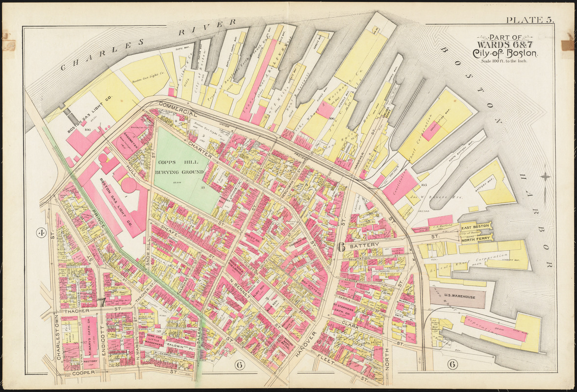
- Title:
- Atlas of the city of Boston : city proper and Roxbury : plate 5
- Creator:
- Bromley, George Washington
- Creator:
- Bromley, Walter Scott
- Date:
-
1890
- Format:
-
Maps/Atlases
- Location:
-
Boston Public Library
Norman B. Leventhal Map & Education Center - Collection (local):
-
Norman B. Leventhal Map & Education Center Collection
- Subjects:
-
Boston (Mass.)--Maps
Real property--Massachusetts--Boston--Maps
Landowners--Massachusetts--Boston--Maps
North End (Boston, Mass.)--Maps
- Places:
-
MassachusettsSuffolk (county)BostonNorth End
- Extent:
- 1 map : color ; 51 x 77 cm
- Terms of Use:
-
No known copyright restrictions.
No known restrictions on use.
- Publisher:
-
Philadelphia :
G.W. Bromley & Co.
- Scale:
-
Scale 1:1,200
- Language:
-
English
- Identifier:
-
06_01_012869
- Call #:
-
G1234.B6 B7 1890
- Barcode:
-
39999059011088
![[Plan of the land at Prince Street and Snowhill Street, Boston]](https://bpldcassets.blob.core.windows.net/derivatives/images/commonwealth:4m90f3650/image_thumbnail_300.jpg)


