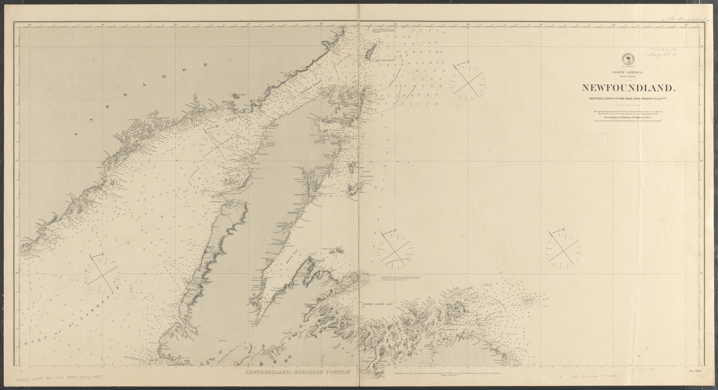
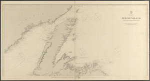
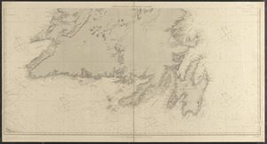
North America, east coast, Newfoundland : republication of the Brit. Adm. charts nos. 232a & b
Item Information
- Title:
- North America, east coast, Newfoundland : republication of the Brit. Adm. charts nos. 232a & b
- Issuing body:
- United States. Hydrographic Office
- Date:
-
1889
- Format:
-
Maps/Atlases
- Location:
-
Boston Public Library
Norman B. Leventhal Map & Education Center - Collection (local):
-
Norman B. Leventhal Map & Education Center Collection
- Subjects:
-
Coasts--Newfoundland and Labrador--Newfoundland, Island of--Maps
Nautical charts--Newfoundland and Labrador--Newfoundland, Island of
Newfoundland, Island of (N.L.)--Maps
- Places:
-
CanadaNewfoundland and Labrador (province)Newfoundland (island)
- Extent:
- 1 map on 2 sheets : hand colored ; 120 x 125 cm, on sheets 68 x 127 cm
- Terms of Use:
-
No known copyright restrictions.
No known restrictions on use.
- Publisher:
-
Washington, D.C. :
Hydrographic Office
- Edition:
- Edition of January 1889
- Scale:
-
Scale approximately 1:600,000
- Language:
-
English
- Table of Contents:
-
Newfoundland: northern portion
Newfoundland: southern portion.
- Notes:
-
Relief shown by hachures and spot heights. Depths shown by soundings and form lines.
Includes notes.
Also shows lighthouses with area of visibility.
- Identifier:
-
06_01_015566A
06_01_015566B
- Call #:
-
G9096.P5 svar .U55 no.581a-b
- Barcode:
-
39999085938387


