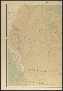
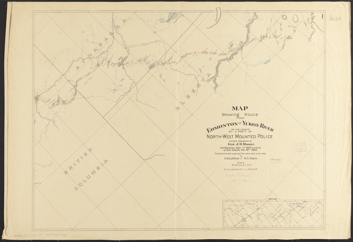
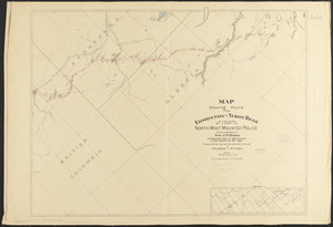
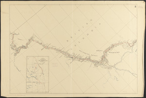
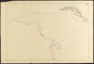
Map showing route from Edmonton to Yukon River as followed by a party of North-West Mounted Police under command of Insp. J.D. Moodie : left Edmonton Sept. 4th 1897, arrived at Fort Selkirk Oct. 20th 1898
Item Information
- Title:
- Map showing route from Edmonton to Yukon River as followed by a party of North-West Mounted Police under command of Insp. J.D. Moodie : left Edmonton Sept. 4th 1897, arrived at Fort Selkirk Oct. 20th 1898
- Cartographer:
- Lafferty, F. D.
- Cartographer:
- Tobin, H. S.
- Name on Item:
-
compiled from other maps and from notes taken on the route by F.D. Lafferty and H.S. Tobin
- Date:
-
[1899]
- Format:
-
Maps/Atlases
- Location:
-
Boston Public Library
Norman B. Leventhal Map & Education Center - Collection (local):
-
Norman B. Leventhal Map & Education Center Collection
- Subjects:
-
Alberta--Discovery and exploration--Maps
British Columbia--Discovery and exploration--Maps
Yukon--Discovery and exploration--Maps
Canadian Cordillera--Discovery and exploration--Maps
Royal Canadian Mounted Police
- Places:
-
CanadaProvince of Alberta (province)
- Extent:
- 1 map on 3 sheets : col. ; 66 x 269 cm., on sheets 71 x 104 cm. or smaller
- Terms of Use:
-
No known copyright restrictions.
No known restrictions on use.
- Publisher:
-
Canada :
[publisher not identified]
- Scale:
-
Scale [1:675,840]. 10 2/3 miles to 1 inch
- Language:
-
English
- Notes:
-
Shows camps.
Includes notes about areas along the trail.
Relief shown by hachures.
Oriented with north to the upper left.
Sheets numbered in upper right.
Insets: Index map -- Sketch of trail followed between Fort St. James and Fort Graham.
- Notes (date):
-
This date is inferred.
- Identifier:
-
06_01_011672A
06_01_011672B
06_01_011672C
- Call #:
-
G3506.S12 1899 .L34
- Barcode:
-
39999065687459