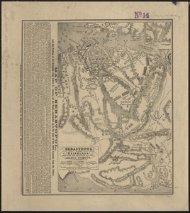
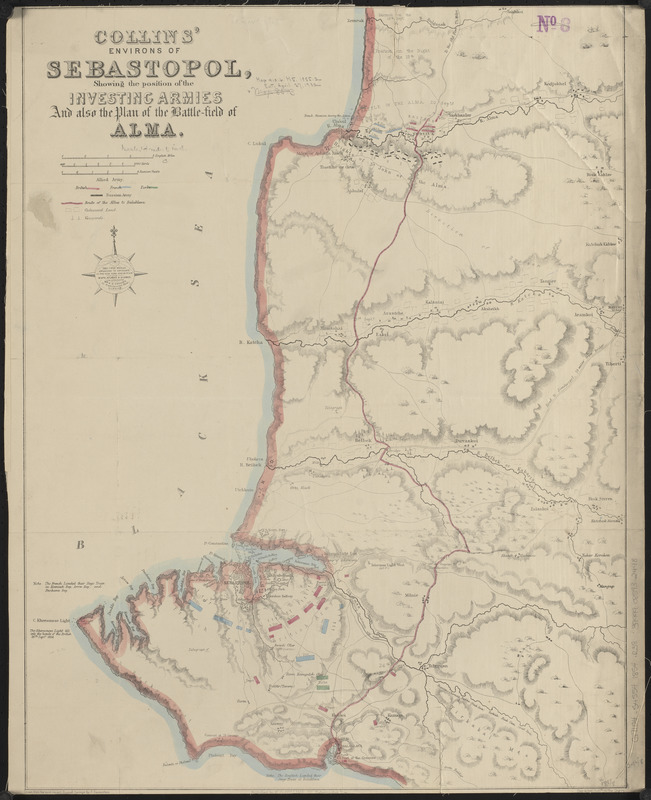
Collins' environs of Sebastopol, showing the position of the investing armies and also the plan of the battle-field of Alma
Item Information
- Title:
- Collins' environs of Sebastopol, showing the position of the investing armies and also the plan of the battle-field of Alma
- Cartographer:
- Ravenstein, Ernst Georg, 1834-1913
- Publisher:
- Collins, Henry George
- Name on Item:
-
drawn from the most recent Russian surveys by E. Ravenstein
- Date:
-
[ca. 1854–1856]
- Format:
-
Maps/Atlases
- Location:
-
Boston Public Library
Norman B. Leventhal Map & Education Center - Collection (local):
-
Norman B. Leventhal Map & Education Center Collection
- Subjects:
-
Crimean War, 1853-1856--Maps
Alma, Battle of the, Ukraine, 1854--Maps
Sevastopolʹ (Ukraine)--History--Siege, 1854-1855--Maps
- Places:
-
UkraineSevastopol'
- Extent:
- 1 map : hand color ; 63 x 49 cm
- Terms of Use:
-
No known copyright restrictions.
No known restrictions on use.
- Publisher:
-
London :
Published by H.G. Collins, 22 Paternoster Row
- Scale:
-
Scale approximately 1:88,000
- Language:
-
English
- Notes:
-
Relief shown by hachures.
Shows troop positions and battlefield notes.
- Identifier:
-
06_01_015181
- Call #:
-
G7104.S4S54 1854 .R38
- Barcode:
-
39999085932448