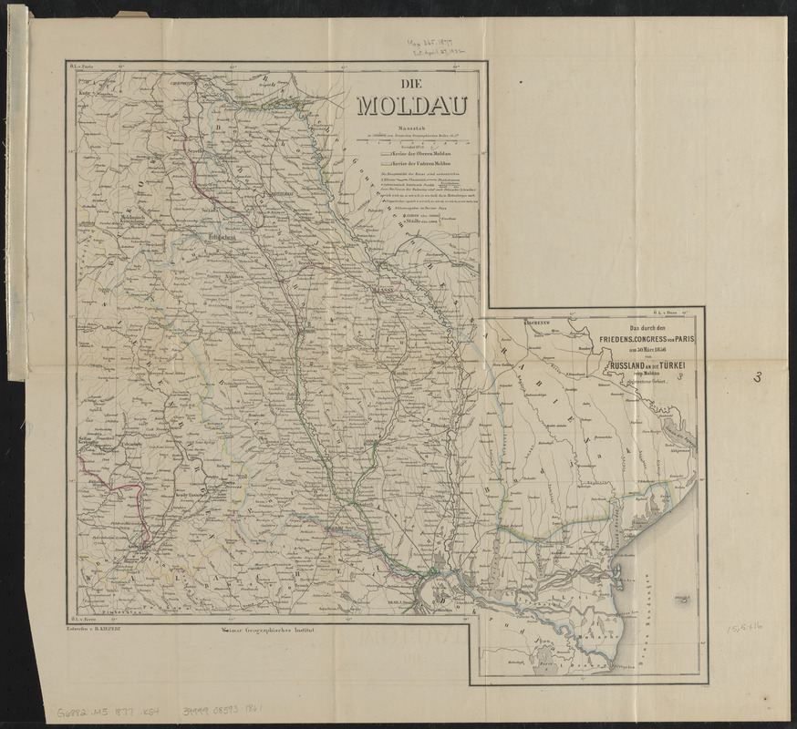
Die Moldau
Item Information
- Title:
- Die Moldau
- Title (alt.):
-
Durch den Friedens-Congress von Paris am 30 März 1856 von Russland an die Türkei resp. Moldau abgetretene gebiet
Hand- u. eisenbahnkarte von Moldau
- Cartographer:
- Kiepert, Heinrich, 1818-1899
- Publisher:
- Geographisches Institut (Weimar, Thuringia, Germany)
- Name on Item:
-
entworfen v. H. Kiepert
- Date:
-
1877
- Format:
-
Maps/Atlases
- Location:
-
Boston Public Library
Norman B. Leventhal Map & Education Center - Collection (local):
-
Norman B. Leventhal Map & Education Center Collection
- Subjects:
-
Moldova--Maps
Moldavia (Romania)--Maps
- Places:
-
Moldavia (area)
Moldova
- Extent:
- 1 map : color ; 40 x 41 cm, folded in cover 25 x 12 cm
- Terms of Use:
-
No known copyright restrictions.
No known restrictions on use.
- Publisher:
-
[Weimar] :
Weimar Geographisches Institut
- Scale:
-
Scale 1:1,000,000
- Language:
-
German
- Notes:
-
Prime meridians: Paris and Ferro.
Edition statement from cover.
"Revidirt 1859."
- Identifier:
-
06_01_015164
- Call #:
-
G6882.M5 1877 .K54
- Barcode:
-
39999085931861


